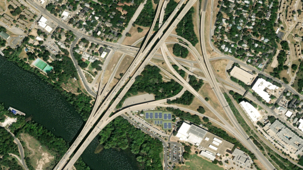
Maxar announces today a new industry first: the first global, satellite imagery basemap at 30 cm high-definition (HD) resolution thanks to innovations in tasking and image processing. A globally consistent, high-resolution imagery basemap is a critical component for most mapping methodologies, feature extraction techniques, virtual simulations and as the visualization layer in mobile mapping applications.

Technology and location-based services (LBS): Navigation and LBS applications and consumer platforms need a current, clear view of Earth to provide the foundation for extracting features and to act as a datum for aligning multisource data.

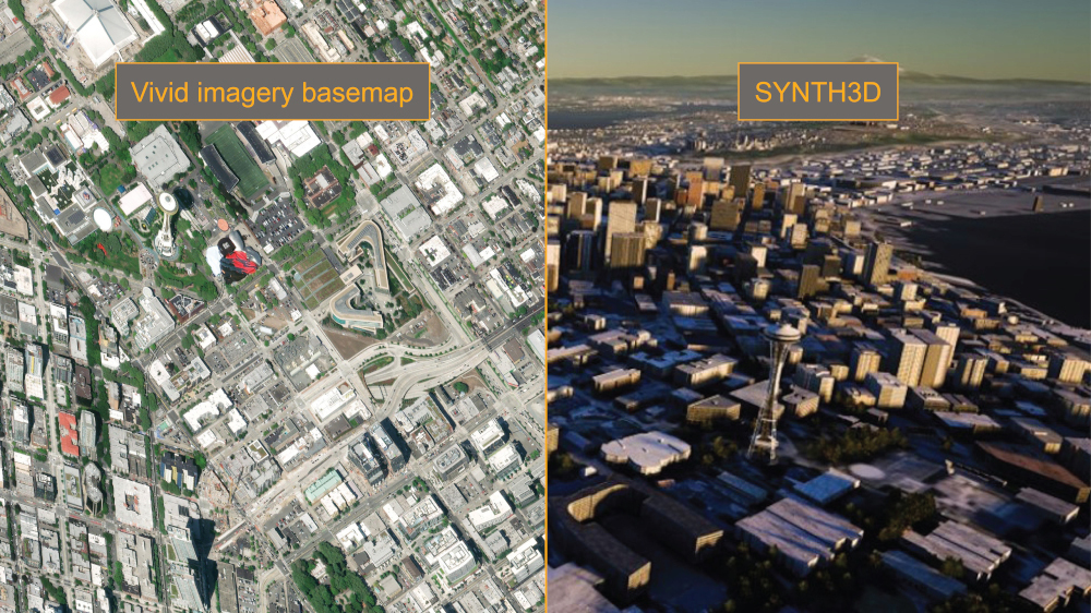
Simulations: Vivid’s consistent basemap is beneficial for artificial intelligence to generate 3D simulations and virtual environments reflecting Earth, which is useful for training, gaming and planning.

Visual contextual layer: Maps, applications and software need a visually appealing high-resolution imagery basemap layer to provide users the contextual perspective of their location in relationship to their surroundings.
Maxar’s 30 cm HD Vivid Standard imagery basemap provides a foundational layer for extracting and identifying features, creating maps, generating 3D data for simulations, and as a visually appealing contextual layer.
Transforming imagery strips into global basemaps
Maxar has been providing 30 cm resolution imagery since WorldView-3 became operational in 2014, but there is a lot of work that goes into turning those imagery strips into a complete global basemap. We have strict parameters on the quality of image strips used to build our Vivid basemap products because a derivative product can only be as good as the foundational source imagery. Our global basemap includes about 400,000 individual image strips that together offer the following Vivid coverage:
- Visually consistent: Images from spring and summer are used to ensure a similar seasonality across the global basemap.
- Virtually cloudless: Images are stitched together to create a cloud-free view of Earth. This can be difficult in equatorial regions, where cloudy days are the norm.
- Current: The most recent images are used to provide an up-to-date view of the ground.
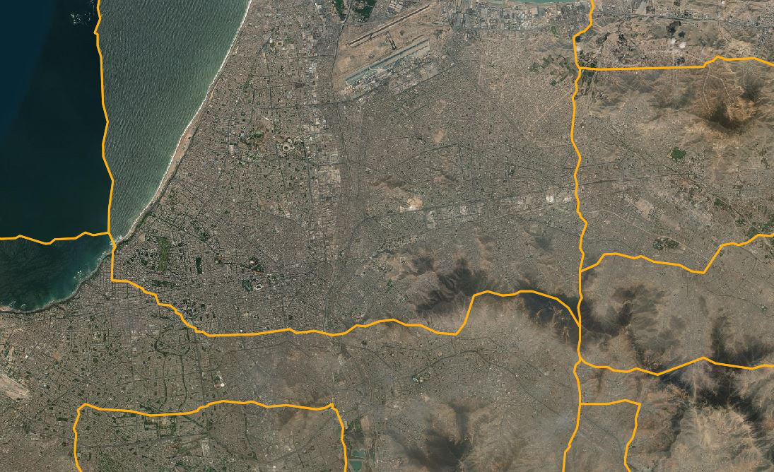
- Seamless: A blending along image boundaries enables us to produce a basemap that looks like a continuous, single image over large areas.

Images come together in the Vivid basemap without visible seamlines. We include seamline files and image metadata with the basemap products so end users have pixel-level source information when needed. The above image of Lima, Peru, shows how different images were stitched together (gold lines) to create a cloudless view.
HD technology enables global 30 cm HD coverage
To create a global imagery basemap at 30 cm HD resolution, Maxar leverages our proprietary HD technology. Maxar’s HD technology intelligently increases the number of pixels and enhances visual clarity, enabling us to increase the number of images available in our image library for building the Vivid 30 cm HD imagery basemap. For the Vivid Standard 30 cm HD global basemap, we used a combination of 30 cm native source imagery and 30 cm HD source imagery to produce the basemap with a consistent 30 cm pixel size.
A global basemap built to fit customers’ needs
High-quality global imagery basemaps provide the foundational image layer for mapping applications, realistic simulation environments and contextual layers for visualizations, like the satellite view on your mobile mapping applications. By combining our proprietary HD technology and innovative collection planning, Maxar produced a current, visually consistent, global imagery basemap. We continuously update this basemap and are consistently innovating new enhancements to meet the requirements of our customers.
See the first 30 cm HD global basemap
Experience the quality of Vivid Standard’s 30 cm HD imagery basemap for yourself.
Download a sample