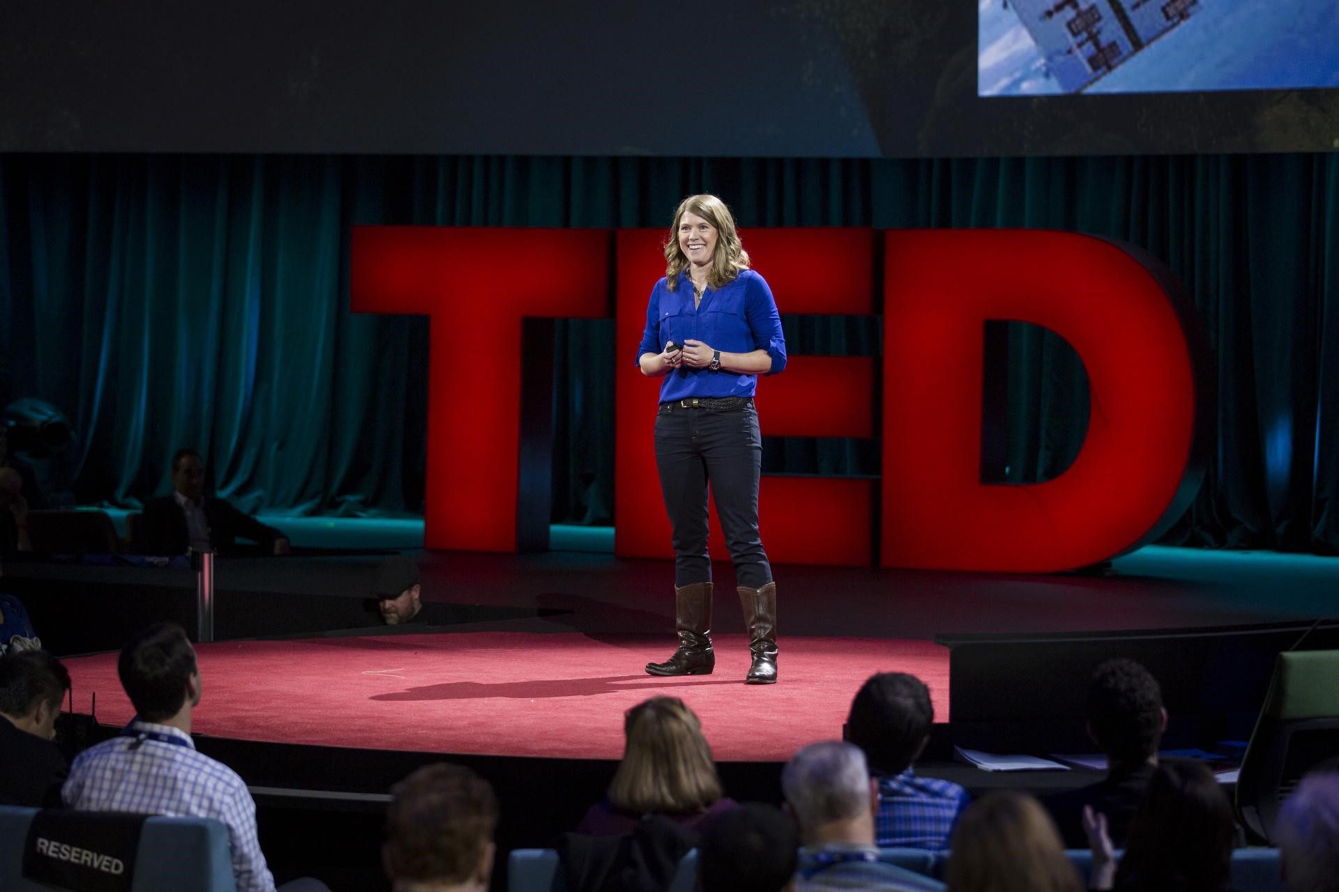
 Earlier this year, National Geographic Fellow Dr. Sarah Parcak announced plans to use a $1 million TED Prize to turn everyday global citizens into space archaeologists. What does that mean, exactly? By leveraging DigitalGlobe’s high-resolution satellite imagery and crowdsourcing platform, volunteer explorers will be able to help monitor known archaeological sites and discover potential new locations right from their computers.
 Thousands of looting pits appeared in Apamea, Syria over a relatively short period of time. When comparing imagery from 2011 and 2015 you can see the difference.[/caption]
GlobalXplorer members will start with a crash course on ‘looting’: why it happens and what it looks like from the ground and in satellite imagery.
If you are interested in joining this journey of discovery and would like to get up-to-date notifications on the status of the project right up until launch date, check out the project’s home site and submit your email address.
Thousands of looting pits appeared in Apamea, Syria over a relatively short period of time. When comparing imagery from 2011 and 2015 you can see the difference.[/caption]
GlobalXplorer members will start with a crash course on ‘looting’: why it happens and what it looks like from the ground and in satellite imagery.
If you are interested in joining this journey of discovery and would like to get up-to-date notifications on the status of the project right up until launch date, check out the project’s home site and submit your email address.