Maxar launched a new Academic Outreach Program in 2020 with a mission of “inspiring students and faculty by sharing Maxar’s story, fostering the adoption of its technology and advancing collaborative opportunities.” The Program has two groups – a K-12 Committee and a University Committee – staffed by team members who volunteer their time to bring Science, Technology, Engineering and Math (STEM) to students.
GIS Day is an annual, industry-recognized day for sharing our passion for geospatial information systems (GIS) with students. Maxar’s K-12 Committee made a concentrated effort to introduce GIS to students in every grade level from kindergarten to 12th grade. The University Committee participated by demonstrating the types of careers available in the GIS industry. Together, they reached more than 1,400 students.
K-12 Outreach
Maxar team members volunteered in schools across the United States and United Kingdom with the hopes of inspiring the next generation to pursue STEM careers. They had a presence in communities where Maxar has offices including Colorado, California, Washington, D.C., Virginia, Maryland, Missouri, Indiana, Florida and Connecticut, as well as London and Oxford, UK.
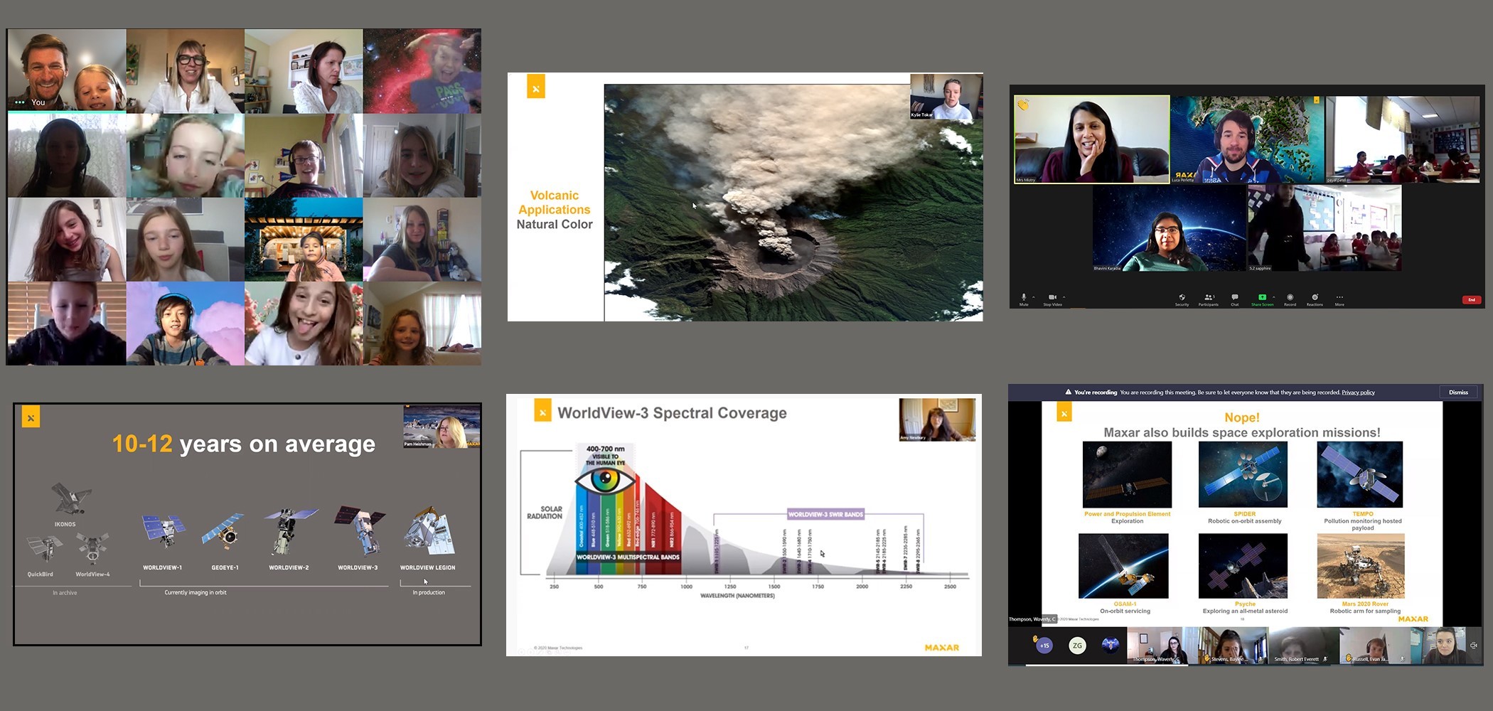
Due to the ongoing pandemic, most Maxar team members met with students virtually. Students learned how Earth Intelligence is created, how it affects their daily lives and how to map their schools and communities using Maxar satellite imagery on OpenStreetMap.

Additionally, Maxar participated for the sixth year in the Adams County Education Consortium 8th Grade Career Expo, an event held annually near the company’s headquarters to expose students to potential career options available in the area. The event was held virtually over two days this year and coincided with GIS Day. Nine Maxar team members staffed a virtual booth (below) to meet with students and tell them about Maxar’s contributions to GIS, Earth Intelligence and Space Infrastructure. The students listened as the Maxar volunteers discussed their jobs, education and experiences in becoming Maxar employees. 160 students attend the virtual booth for Maxar. The students asked thoughtful and insightful questions of our volunteers, including, “How does Maxar make an impact on our world, and us in the 8th grade?”.

University Outreach
Several Maxar team members also participated in events that reached university-level students. The U.S. Department of State’s MapGive initiative, USAID’s GeoCenter and the American Red Cross hosted a career panel for about 80 students and young professionals to learn about careers in the private sector that use geography and OSM. Maxar’s Matt Gibb moderated the panel, which included Maxar’s Dana Stuckey and participants from Esri, Mapbox, Microsoft, Azavea, DevelopmentSeed, IncaTech and Critigen. With a range of perspectives, the panelists discussed how different organizations contribute to and utilize OSM data, offered career advice for people joining the workforce and shared internship and job openings that may be of interest to the attendees. They also covered how companies have adjusted during the pandemic and where future trends in GIS are heading.
Jason Lapadula presented a lightning talk to 80 students during Yale University’s GIS Day event. And Dr. Amy Newbury, Senior Distinguished Technical Staff, gave the keynote speech at an event organized by University of Colorado-Boulder, University of Colorado-Denver and Auraria Library. Her speech “Satellite Imagery and Mapping ‘For a Better World” can be watched below: