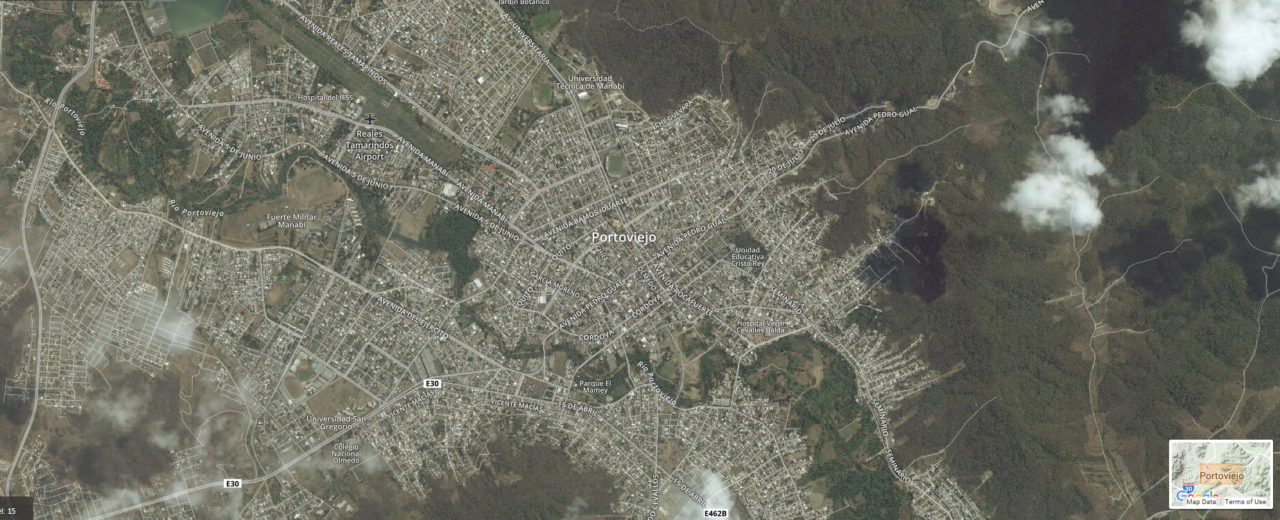
 Portoviejo, Ecuador before the earthquake.[/caption]
To support the disaster response in-country, DigitalGlobe is releasing before and after imagery of the areas impacted, as well as crowdsourced data layers identifying damaged buildings, impassable roads and other sites of major destruction. To ensure these imagery and data can be of most assistance to relief efforts, they will be available under a CC0 license, which means they are in the public domain.
DigitalGlobe will also be coordinating with partners like Humanitarian Open Street Map (HOT), the United Nations, and others to disseminate information as quickly and broadly as possible. Please feel free to share this post with your networks to bring awareness to the available imagery and data. DigitalGlobe will continue collecting new images over affected areas throughout the week.
Some helpful links:
Data are now available at s3://ecuador-earthquake. The bucket is set to public access, but if you're having trouble please try these keys. If you're unfamiliar with S3, refer to the background info and tips below.- Access Key ID: AKIAJXHUPB4K2YOQBRAQ
- Secret Access Key: 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
- Cloudberry Explorer: http://www.cloudberrylab.com/free-amazon-s3-explorer-cloudfront-IAM.aspx
- S3 Browser: http://s3browser.com/
- S3cmd: http://s3tools.org/s3cmd
- AWS CLI: http://aws.amazon.com/cli/
S3 background info and tips:
- Why S3? DigitalGlobe has built a Geospatial Big Data Platform (GBDX) that optimizes data transfer into the crowd using UDP accelerated delivery, and allowing us to move upwards of 80 petabytes of imagery from our satellites into the crowd per day. In a disaster response situation, our ability to leverage this functionality is essential to a quick response. Our goal is to get raw imagery out as quickly possible.
- How to use S3: There a few options, but our preferred method is using the AWS CLI. If you’re not familiar with command line interfaces, don’t fret, its pretty simple, and here’s a few steps on how it works:
- Download the app here: https://aws.amazon.com/cli/
- Get set up here: http://docs.aws.amazon.com/cli/latest/userguide/cli-chap-getting-set-up.html
- To view imagery in the bucket, type: aws ls s3://ecuador-earthquake/
- This will give you a look into the bucket, and the two folders it contains: “pre-event” and “post-event”
- To dig deeper, simply append one of the file names to your first request: aws ls s3://ecuador-earthquake/post-event
- Each folder you see in the directory is a SOLI, or a “Sales Order Line Item” which is how we keep track of orders internal to DigitalGlobe
- As you continue to dig down, you’ll end up seeing all of the data that comes with satellite image. Copying a file over uses the aws s3 cp command: aws s3 cp s3://ecuador-earthquake/post-event/055228066010_01/055228066010_01_P001_MUL/16APR17160138-M1BS-055228066010_01_P001.TIF ./local/file/location/
- The command works by specifying first the object in s3 you want, and then specifying the local location where you want to store it.
Interactive map with results from our Tomnod crowdsourcing campaign:
Click here to download Tomnod results as of April 22, 2016 Here are some things you'll need to know in order to make the most of your Tomnod data:- Timestamp: The time the image was taken (the image that the unique featre was found in)
- Type/name: The type of feature / the name of the tag type used in the Tomnod campaign
- ID: The id of the unique feature
- Radius (aka Cluster Radius): The radius of the cluster of tags placed on that unique object
- Chip URL: The URL of the map tile the feature came from within the Tomnod campaign
- CrowdRank Score: The confidence score calculated by our intelligent CrowdRank algorithm & assigned to each and every unique feature
- Agreement: The number of people who placed a tag over the same feature
- Overlay: This is synonymous with image