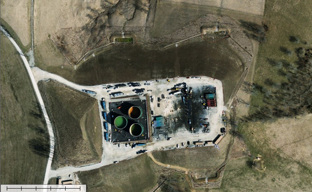
 The use of hydraulic fracturing technology and horizontal drilling in shale plays across the U.S. have consistently opened new markets and increased American production levels since the early 2000s.
The U.S. Energy Information Administration’s (EIA) most recent drilling productivity report notes that shale plays are responsible for about 95% of American petroleum production growth as well as being solely responsible for all domestic natural gas production growth.
Even shale plays, the greatest area of growth in the energy industry, have suffered from significant slowdown since 2011, according to a Bloomberg report this March.
The recent down cycles in the energy industry have led those involved in shale plays to search for ways to increase efficiency and improve their infrastructure.
Given the slowdown in production, cutting costs from within has become paramount to many businesses. December’s downcycle saw layoffs occur on a large scale, and several smaller energy companies sold out.
But less drastic methods of cost savings are available to industry professionals.
Using imagery and digital elevation models (DEMs) can improve operational efficiency for operators working in the shale plays. Using advanced imagery to spot wells and site well pads can reduce the costly technical and operational challenges in shale plays.
Here’s why this state-of-the-art geospatial imagery and information is a worthy investment:
- Reduce the timeline of site construction and drilling (spud)
- Improve efficiency and maximize profit
- Reduce the cost of design and construction