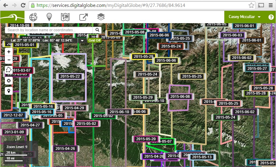
 Once a FirstLook event is active, images from the entire DigitalGlobe constellation are made available for response efforts.[/caption]
[caption id="attachment_3655" align="alignleft" width="400"]
Once a FirstLook event is active, images from the entire DigitalGlobe constellation are made available for response efforts.[/caption]
[caption id="attachment_3655" align="alignleft" width="400"]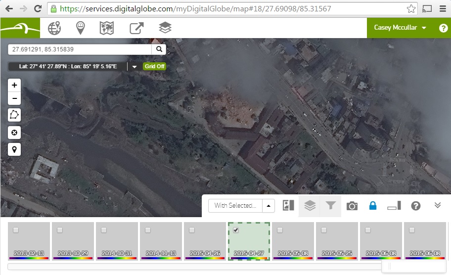 This picture shows damage to the Kalmochan Temple in Kathmandu selected to show the status on April 27, 2015.[/caption]
Why is that so special? Because we've all seen movies where satellites beam down real-time images to our heroes (or villains), it might be sad to learn that the technical reality is, well, more technical.
Summing up a few decades of space engineering in two sentences let me explain, or maybe drastically oversimplify most satellite imaging:
This picture shows damage to the Kalmochan Temple in Kathmandu selected to show the status on April 27, 2015.[/caption]
Why is that so special? Because we've all seen movies where satellites beam down real-time images to our heroes (or villains), it might be sad to learn that the technical reality is, well, more technical.
Summing up a few decades of space engineering in two sentences let me explain, or maybe drastically oversimplify most satellite imaging:
- Our satellites are sophisticated digital cameras in a sun-synchronous orbit, meaning they follow the earth’s rotation to take pictures around 10:30 in the morning local time, all over the world. Later, when they fly over one of our antenna ground terminals, the data downloads to our systems where we automatically process it for optimal viewing and then post it online in DigitalGlobe Basemap. Whew…