
It’s been nearly 60 years since humanity staked its first claim to space with the launch of Sputnik in 1957. Since then, we’ve launched satellites that do everything from probing the atmospheres of distant planets to telling us where we are along the route to grandma’s house. The U.S. and other governments have been operating satellites that photograph the earth for a long time, but it was just 15 years ago that the world was first introduced to high-resolution images taken by privately owned satellites. Now it’s hard to imagine life without the imagery that powers our online maps and location-enabled apps, exposes human rights abuses, and reveals the impact of man-made and natural disasters.
March 31 marked a significant milestone for the commercial satellite industry, as Maxar officially retired Ikonos, the world’s first high-resolution commercial imaging satellite. Ikonos and QuickBird—which ended its mission late last year—revolutionized how we see the world and paved the way for the bleeding-edge imaging capabilities, delivery platforms, and analytic tools that are at the heart of Maxar’s business today.
For Ikonos and QuickBird, launched in 1999 and 2001 respectively by competing legacy companies, the first priority was simply getting to orbit and demonstrating that a commercially-built and operated system would work as advertised – no easy task, given that three earlier satellites failed during or shortly after launch. Having the best possible resolution was as important then as it is today, as demonstrated by Maxar’s last-minute decision to launch QuickBird into a lower orbit to capture sharper images than its then-rival Ikonos at the expense of capacity, subsequently enabling QuickBird to be the first source of high-resolution satellite imagery for web mapping portals such as Google Maps.
Higher resolution continued to be a prized requirement for the early adopters of commercial satellite imagery such as defense and intelligence users. But many of these users also demanded better positional accuracy and greater collection capacity, all of which influenced the designs of our next-generation satellites, WorldView-1 and GeoEye-1. As customers realized the power of this imagery to help save lives, resources, and time, getting it into their workflows and out to the tactical edge in near-real time became our top priority. To do so, we built out a global network of 12 ground stations to reduce the time between image capture and end-user delivery to mere minutes.
WorldView-2 and WorldView-3 continued the evolution of our constellation with the addition of advanced multi-spectral and shortwave infrared imaging capabilities that would open up entirely new applications for civil governments, energy and infrastructure companies, and global development organizations. It is now possible to assess the health of individual plants, distinguish between different man-made materials, and identify all sorts of minerals and natural resources anywhere on earth with greater fidelity than ever before.
Today, with a constellation collecting more than 1 billion square kilometers of the world’s highest quality commercial satellite imagery each year, data scarcity is no longer an issue. Now the bleeding edge lies in extracting the signal from the noise – in other words, creating valuable information and insight from imagery to solve complex problems. We call this Geospatial Big Data.
Understanding what has happened is important, but predicting what is yet to come may be even more so. By coupling our satellite imagery with other types of event and human geography data, we can do things like predict where extremist activity or illegal poaching is most likely to occur, or find the best locations to distribute medical resources in response to an outbreak of disease.
These are just some of the ways that Maxar is harnessing innovation to propel us toward our purpose of Seeing a better world™. The future is incredibly bright for the satellite imaging and geospatial information industries, and that future will be built upon the lasting legacies of Ikonos and QuickBird.

Marathon, Florida, December 13, 2014
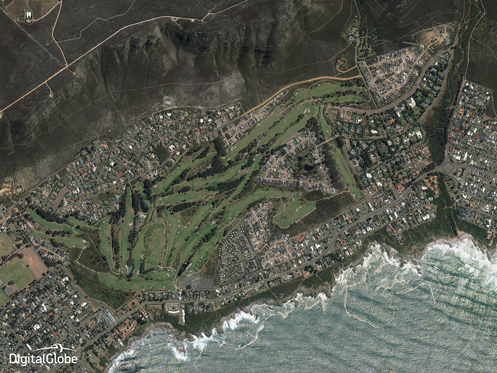
Hermanus, South Africa, December 17, 2014
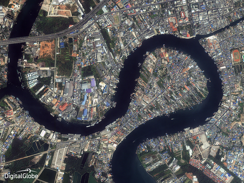
Sumut Sakhon, Thailand, December 20, 2014
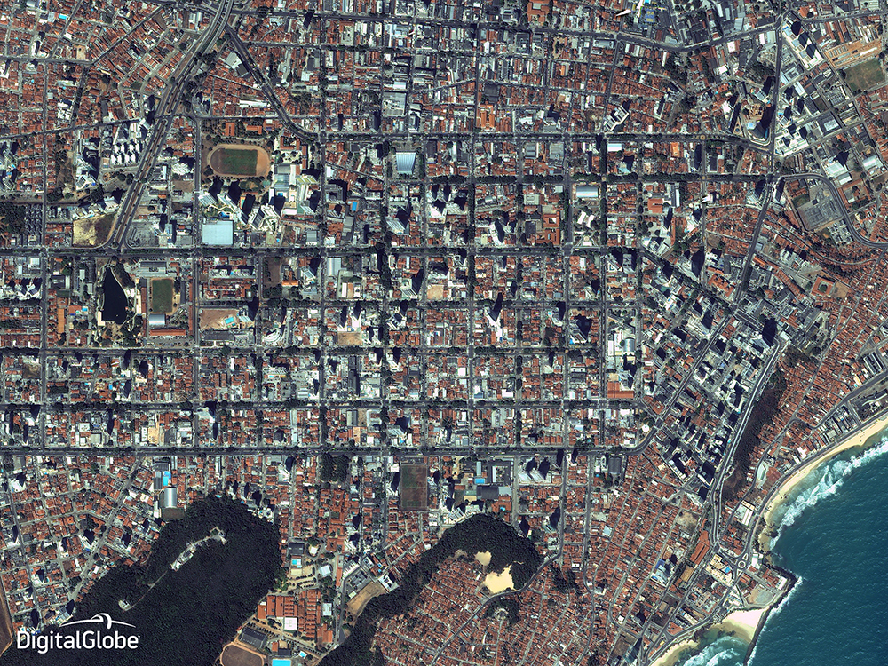
Natal, Brazil, December 18, 2014