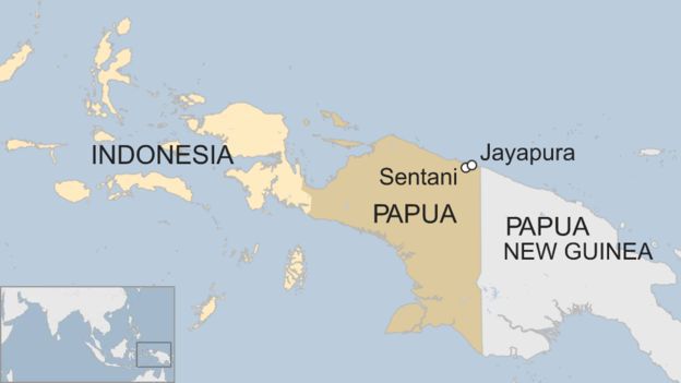
Flash flooding and landslides in the easternmost province of Papua in Indonesia have displaced more than 10,000 people and killed approximately 105. Hundreds of homes, bridges, schools and other public buildings have been destroyed. Authorities have warned provincial officials of the dangers of flash floods due to deforestation. While flooding is common in Indonesia during the rainy season, which runs from October to April, the amount of flooding in recent days is unusual. Some areas have received more than 18 inches of rain in the past 3 days. Search and rescue operations are underway in areas that are more easily accessible; in harder hit areas, downed trees and damaged roads are making recovery efforts more difficult.
When crises like this occur, DigitalGlobe is committed to supporting the humanitarian community and fulfilling Maxar’s purpose of Building a Better World by providing critical and actionable information to assist response efforts. As part of our Open Data Program, DigitalGlobe will publicly release data of the affected areas to support disaster response as it becomes available.
Any imagery or data distributed through the Open Data Program is licensed under the Creative Commons Attribution Non-Commercial 4.0 license (CC BY-NC 4.0). This licensing allows for non-commercial use of the information, meaning it can quickly be integrated into first responder workflows with organizations like Team Rubicon, the Red Cross and other non-profits. If commercial companies are interested in using the data distributed through the Open Data Program, it can be purchased by contacting DigitalGlobe.
Pre-event imagery has been posted on our Open Data Program website. Please continue to check this site and our social media channels for updates on post-event data.