Six universities. 68 teams. 230 students.
The TakiWaehere – New Zealand Geospatial Hackathon generated significant activity over a weekend in April. New Zealand’s Ministry of Business, Innovation & Employment (MBIE) and Maxar hosted this 24-hour event to encourage students to develop new solutions that address pressing challenges with high-resolution satellite imagery and emerging technologies, including artificial intelligence and machine learning. The hackathon is the first output of the Memorandum of Understanding signed between Maxar and MBIE in March.
As with many New Zealand government activities, the New Zealand Geospatial Hackathon has a Māori cultural name and meaning. TakiWaehere is a conceptualization of the term hackathon and describes a group of people working together (taki-) in a technical coding activity (waehere).
The students gathered at their universities and virtually to collaborate on their solutions. They received access to imagery curated around hackathon topics from Maxar’s 20-year, 125-petabyte imagery archive, and Amazon Web Services (AWS) provided S3 cloud storage to Maxar to host the dataset for hackathon participants to access.

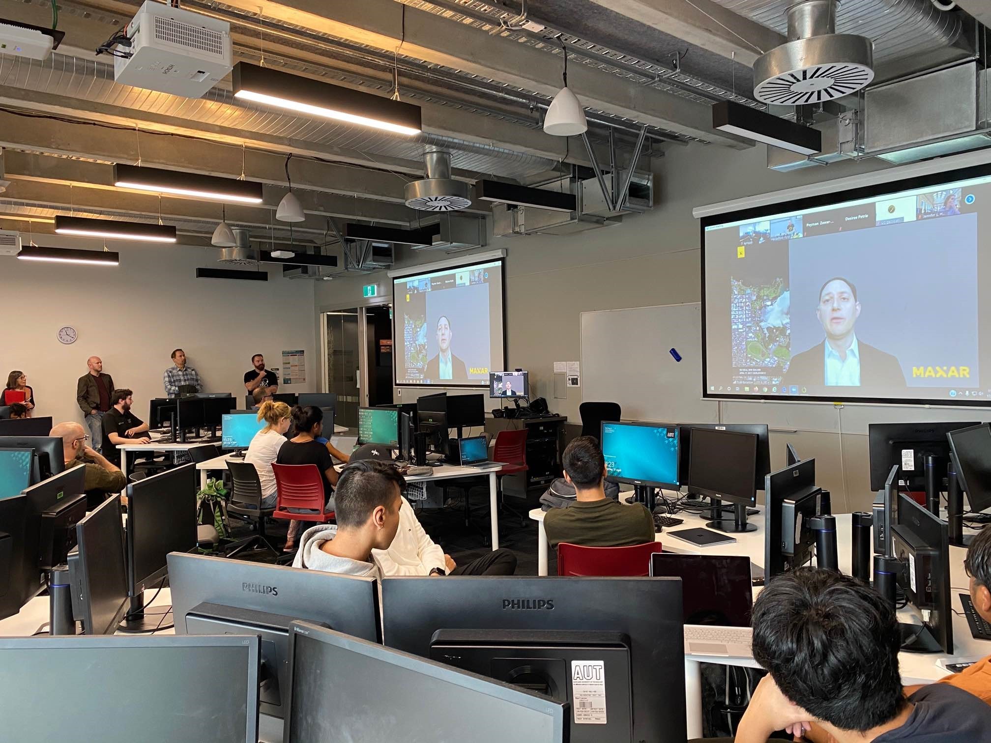
Maxar’s Todd Bacastow kicks off the hackathon virtually as students from the University of Auckland watch.
A consortium of New Zealand government organizations, led by the New Zealand Space Agency, agreed on the hackathon challenge themes with the goal of benefiting their civil government priorities. The following themes were included:
- Understanding COVID-19 Activity Patterns
- Monitoring a Changing Coastal Zone
- Healthy Local Waterways
- Wildlife Populations—Seabirds
- Changes in Urban Infrastructure/Extent
- Wetlands and Estuary Mapping
- Managing Emergencies
A panel of judges from the New Zealand Space Agency, Ministry for the Environment, New Zealand Defence Force, Maxar, Lynker Analytics and Dragonfly Data Science evaluated the completed projects at the end of the hackathon. The teams were judged on th creativity, technical skill and competitive advantage of their developed solution, as well as its ability to address a suitable identified problem statement. This is a summary of the results:
First place
Auckland University Neuron Transmitting Students (the AUNTS) from the University of Auckland designed a solution for the Managing Emergencies theme. Their solution proposed an index to map flooding and risk to buildings and infrastructure that could help emergency response planning in future national disasters. This solution won first place because it combined remote sensing capabilities, including spectral signatures to map flooded areas, a change detection algorithm and incorporated additional open datasets for features like roads and structures. The solution delivered the information through an intuitive GIS web map designed to show the impact for both first responders and citizens.

In the AUNTS solution, the impact of the 2017 Edgecumbe floodwater is shown in blue. Buildings are highlighted green, yellow, orange and red based on the flood risk as indicated by the AUNTS flood index.
Second place
The Interpolators from the University of Auckland and Auckland University of Technology designed a solution for the Healthy Local Waterways category. They created a tool to investigate and map the health of local waterways using multispectral bands and multiple spectral indices that predict water quality. The Interpolators won second place because their novel water-quality framework will help local governments address this important environmental challenge.

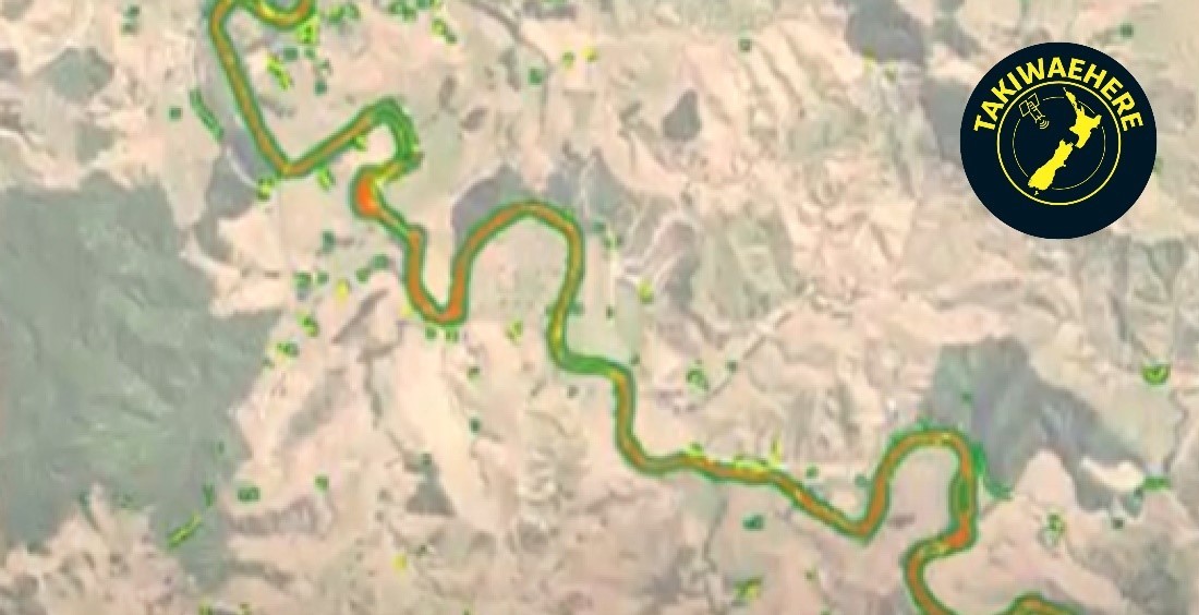
This screenshot shows the Interpolators water quality index derived from vegetation and turbidity measurements using the multispectral bands from Maxar’s satellite imagery. Water quality is visualized in the above image: Green indicates good water quality, and red shows where quality is diminished.
Third place
The South Island Students from the University of Canterbury designed a solution for the Monitoring a Changing Coastal Zone theme. They created a tool called SeeReef to help vessels navigate shallow water hazards along New Zealand’s coastlines. This solution impressed judges with its use of multispectral band combinations from Maxar’s satellite imagery to identify nearshore underwater objects delivered through a well-designed GIS web app for maritime use.

The South Island Students web app shows undersea hazard data (red represents the shallowest depth) over Maxar satellite imagery, as well as nautical maps to assist maritime navigators in avoiding underwater collisions. The benefits of this app include avoiding damage to the undersea environment while improving safety of navigation for boat crews and passengers.
In addition to New Zealand government-sponsored cash prizes, the first-place team will be awarded a new Maxar satellite image collection to support its research, and all three top teams will get access to Maxar’s subscription service SecureWatch, enabling them to access Maxar’s full archive to continue their research and development efforts beyond the hackathon. The teams will also win university “space selfies” taken with Maxar satellites to memorialize the winning celebration at a favorite location on campus.
Maxar looks forward to building on the hackathon’s success and continuing its engagement with MBIE, the New Zealand Space Agency and other New Zealand agencies For A Better World.
Maxar launched a new Academic Outreach Program in 2020 with a mission of “inspiring students and faculty by sharing Maxar’s story, fostering the adoption of its technology and advancing collaborative opportunities.” Under this program, the University Committee collaborates with leading higher education institutions to advance innovative research and development. The University Committee helped organize this hackathon.