Toyota Research Institute-Advanced Development, Inc. (TRI-AD), Toyota’s automated driving software development company, Maxar Technologies and NTT DATA, a leading IT services provider, today announced the results of their collaboration on a proof of concept to build automated high-definition (HD) maps for automated driving using commercial satellite imagery. The work has led to significant progress toward the efficient generation of automated driving maps.
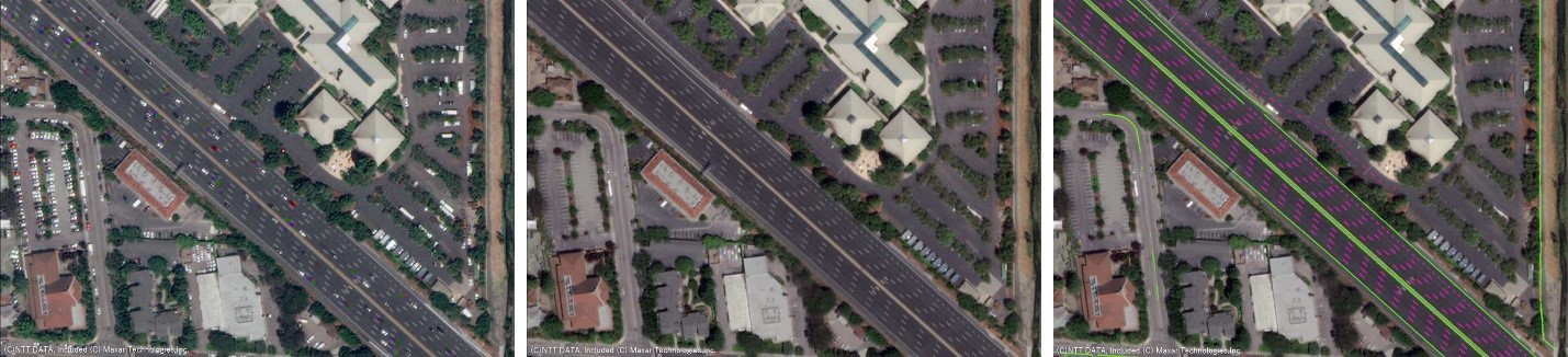
In this proof of concept, NTT DATA’s specialized algorithms used artificial intelligence (AI) to extract information from Maxar’s optical satellite imagery library, which is the highest resolution commercially available. This generated a detailed road network that TRI-AD's Automated Mapping Platform (AMP) leveraged. The proof of concept created automated HD maps with a relative accuracy of 25 cm for Tokyo’s 23 wards and six international cities outside of Japan.
Automated vehicles use several real-time sensors to ensure safe driving and these sensors need to be cross-referenced with an HD map for safe operation. HD maps are assumed to cover less than 1% of the global road network1, and there is a need to increase the coverage of urban areas and local roads before automated driving can become a mainstream mobility technology.
By using the results of this proof of concept, AMP expects to reduce the lag time for updating automated driving maps, increase the mapping areas and decrease the cost of creating and maintaining these HD maps, which opens up the future possibility of supporting automated mobility on all roads.
To learn more about Maxar’s solutions for automotive, please visit our website.
Notes
1. Based on TRI-AD’s assumption on April 25, 2019 that if high-definition maps were available for the entire highway road network for the U.S., China, Germany and Japan (0.23M km), this represents less than 1% of the global road network (39.5M km).