The world is currently rushing to stop the spread of coronavirus disease (COVID-19), which is proving to be difficult based on the global nature of our society. With health professionals leading the charge, there are geospatial data and tools available to help inform and support their work. Our partner, Esri, put together this tracking map (below) with John Hopkins University. At the time this blog post publishes, it currently indicates there are 137,066 cases of COVID-19 spread out around the world.

Infectious diseases are estimated to be responsible for more than 15 million deaths globally each year, representing a continuously evolving challenge to human health, according to the World Health Organization.1It is instrumental to have an understanding based in both time and place to figure out how and where a disease is transmitted and to develop effective control measures. 2 Human mobility like air travel and commuting, locations of transport exchanges and medical health facilities, and socioeconomic factors like weaknesses in public health infrastructure and poverty, are all important factors in modeling pandemics.3 Health officials are currently enacting different quarantine and social distancing rules into place around the world.

Maxar has experience in responding to infectious disease outbreaks, including ongoing support for the Ebola outbreak in the Democratic Republic of Congo (DRC) that started in 2018. A few Maxar products provided critical information to response and containment efforts:
Human Landscape
Human Landscape provides comprehensive geo-databases in analysis-ready formats that augment Maxar’s highest-resolution satellite imagery. The datasets provide rich attribution and metadata to detail core human geography themes across countries and metropolitan areas.
As expected based on scientific research regarding pandemic modeling, end users during the Ebola outbreak found the following Human Landscape layers to be particularly useful:
- Medical facilities
- Hospitals
- Urgent care facilities
- Pharmacies
- Demographics
- Population density
- Access to services (internet)
- Access to clean water
- Access to updated sewage systems
- Access to education
- Employment rates
- Tourist Attractions
- Cultural points of interest
- Roads
- Public transportation hubs
- Water infrastructure locations
- Recreational points of interest
These data layers told response teams where high densities of populations were located, specifically low-income communities with little access to upgraded sanitization infrastructure. Additionally, public transportation infrastructure locations and medical health facilities could be located as possible hot spots for disease transmission. Proximity to notable features informs decision-makers about where to drive relief efforts and how to transport aid to those areas.

Check out this interactive webpage to see how Human Landscape data provided key insights during the 2014 Ebola outbreak in Liberia. Human landscape data was used to identify key points of interest such as medical facilities and clinics in hard-hit areas like Monrovia, Liberia.
Satellite imagery mosaics
Maxar creates the highest resolution, most accurate and virtually seamless imagery mosaics to support mapping, visualization of data and analytics. Just like Human Landscape, these global basemaps provide key geospatial context for making decisions with confidence.
Building footprints
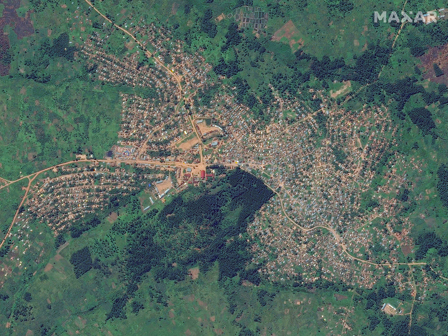
During the 2018 Ebola outbreak, Maxar created building footprints that put previously unmapped villages on official record so they could receive medical services. Now, the company has partnered to offer Ecopia Building Footprints Powered by Maxar, which have continental scale with 95% accuracy.

Maxar Data Available for Coronavirus Response
When these datasets are combined, infectious disease experts gain a complete geospatial understanding of the outbreak area for health surveillance purposes, enabling responses that are more efficient.
Maxar is ready to support the response to the COVID-19 with these datasets. Below is a map visualizing where Human Landscape datasets are available around the world and on what timeline. Additional countries are available with shortened timelines upon request.
To receive information about what data is specifically ready, please reach out to us.

View this webinar presentation about using geospatial data for infectious disease response planning.
Sources
1. World Health Organization. 2004. The global burden of disease: 2004 update. Geneva: World Health Organization.
2. Lai, Poh-Chin, Chun Bong Chow, Ho Ting Wong, Kim Hung Kwong, Yat Wah Kwan, Shao Haei Liu, Wah Kun Tong, Wai Keung Cheung & Wing Leung Wong (2015) An early warning system for detecting H1N1 disease outbreak – a spatio-temporal approach, International Journal of Geographical Information Science, 29:7, 1251-1268.
3. Christaki, Eirini (2015) New technologies in predicting, preventing and controlling emerging infectious diseases, Virulence, 6:6, 558-565.