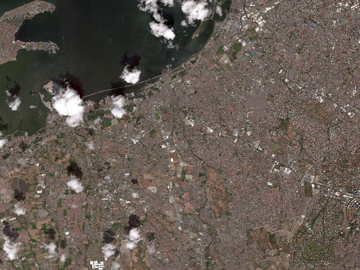
Typhoon Vongfong made landfall in the Philippines, forcing the evacuation of tens of thousands of people. The typhoon struck eastern Samar at around noon local time Thursday, May 14th. It is the first named storm of the 2020 season in the West Pacific. Vongfong packed winds of at least 115 mph, an intensity that makes it the equivalent of a category 3 hurricane. In Eastern Samar Province Typhoon Vongfong brought heavy winds and rain, destroying hundreds of buildings as well as crops and fishing boats. Officials warned that evacuation centers could become hotbeds for the spread of the coronavirus. As of May 17th, Vongfong weakened into a severe tropical storm after hitting land and was blowing northwest toward the populous main northern island of Luzon, local government agencies said.
When crises like this occur, Maxar is committed to supporting the humanitarian community by providing critical and actionable information to assist response efforts and fulfilling our purpose, For a Better World. As part of our Open Data Program, Maxar will publicly release data of the affected areas to support disaster response as it becomes available.
Any imagery or data distributed through the Open Data Program is licensed under the Creative Commons Attribution Non-Commercial 4.0 license (CC BY-NC 4.0). This licensing allows for non-commercial use of the information, meaning it can quickly be integrated into first responder workflows with organizations like Team Rubicon, the Red Cross and other non-profits. If commercial companies are interested in using the data distributed through the Open Data Program, it can be purchased by contacting us here.
Imagery has been posted on our Open Data Program website. Please continue to check this site and our social media channels for updates on pre- and post-event data.