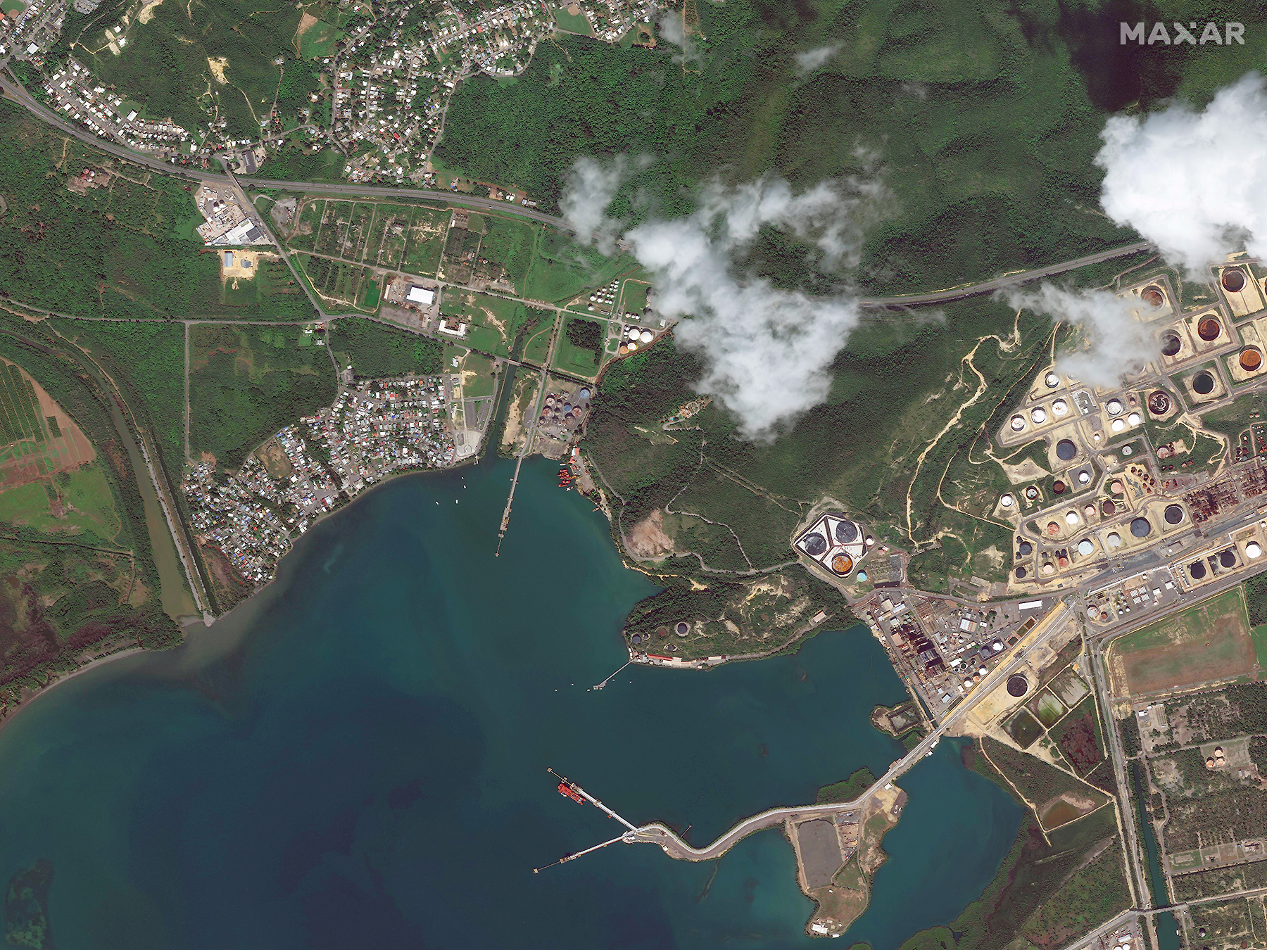
A deadly earthquake rocked Puerto Rico in the early hours of Tuesday, January 7, 2020. It was the strongest and most damaging in a series of quakes that started on December 28, 2019. The 6.4 magnitude earthquake was centered just off Puerto Rico’s southern coast, about six miles south of the town of Indios. Several aftershocks have followed, including a 5.6 magnitude tremor. Puerto Rican engineers, with support from the National Guard, are working to restore water to more than 300,000 customers. The earthquakes come more than two years after Hurricane Maria devastated the U.S. territory in September 2017; many in southern Puerto Rico are saying the earthquake damage is worse than that from the hurricane.
When crises like this occur, Maxar is committed to supporting the humanitarian community by providing critical and actionable information to assist response efforts and fulfilling our purpose, For a Better World. As part of our Open Data Program, Maxar will publicly release data of the affected areas to support disaster response as it becomes available.
Any imagery or data distributed through the Open Data Program is licensed under the Creative Commons Attribution Non-Commercial 4.0 license (CC BY-NC 4.0). This licensing allows for non-commercial use of the information, meaning it can quickly be integrated into first responder workflows with organizations like Team Rubicon, the Red Cross and other non-profits. If commercial companies are interested in using the data distributed through the Open Data Program, it can be purchased by contacting us here.
Imagery has been posted on our Open Data Program website. Please continue to check this site and our social media channels for updates on pre- and post-event data.