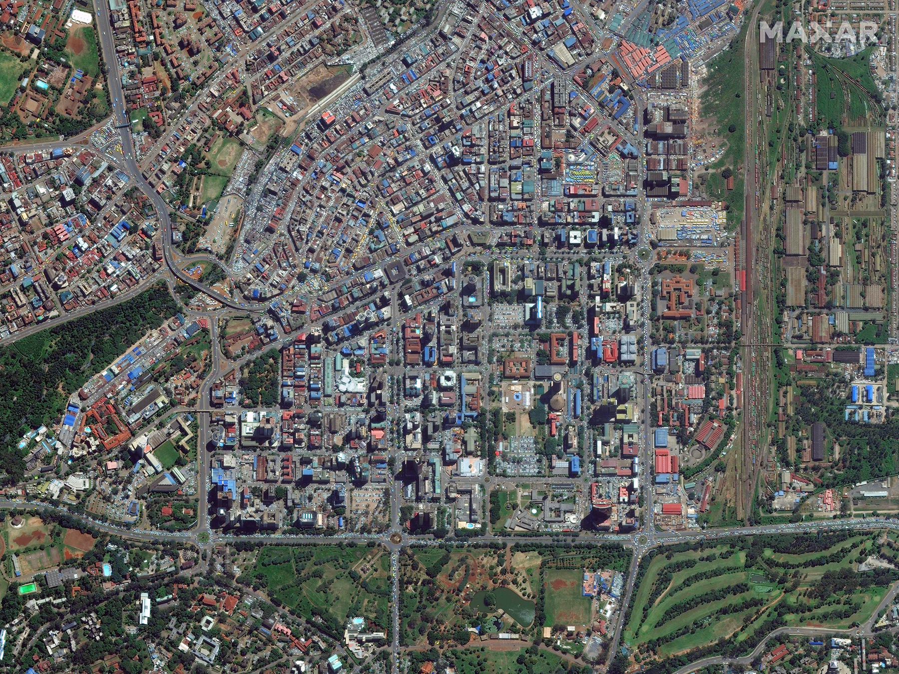
Maxar's Open Data Program has released an initial set of high-resolution satellite imagery in support of the COVID-19 response efforts. Per requests from our humanitarian partners, this release will include our Metro imagery basemaps for the following African cities: Addis Ababa, Abidjan, Dakar, Lagos, Kano, Ibadan, Ouagadougou, Accra, Luanda, Kinshasa, Nairobi and part of northern Ghana.
As part of this activation, we will also be accepting requests for additional city releases. We are looking to the community to guide us as to where the greatest needs are and where our imagery can directly support the humanitarian response. You can submit those requests on the event page here.
For anyone who uses the imagery to create derived data or information, please let us know if you’d like to contribute that back to the community along with the source imagery. Any partners looking to share data can contact opendata@maxar.com. Please stay in touch and let us know via email or Twitter (@maxar) how our imagery is supporting your work or your missions at this critical time.
When crises like this occur, Maxar is committed to supporting the humanitarian community by providing critical and actionable information to assist response efforts and fulfilling our purpose, For a Better World. As part of our Open Data Program, Maxar will publicly release data of the affected areas to support disaster response as it becomes available.
Any imagery or data distributed through the Open Data Program is licensed under the Creative Commons Attribution Non-Commercial 4.0 license (CC BY-NC 4.0). This licensing allows for non-commercial use of the information, meaning it can quickly be integrated into first responder workflows with organizations like Team Rubicon, the Red Cross and other non-profits. If commercial companies are interested in using the data distributed through the Open Data Program, it can be purchased by contacting us here.
Imagery has been posted on our Open Data Program website. Please continue to check this site and our social media channels for updates on pre- and post-event data.