Maxar and the U.S. Department of State hosted an AI-assisted mapathon in Nigeria at the beginning of September 2020 to enable more current maps for use by the President’s Emergency Plan for AIDS Relief (PEPFAR). The data created at this event will be used to support new insights related to PEPFAR’s program coverage, supply chain logistics, and clinical site-level data analysis. Other humanitarian organizations responding to infectious disease threats within Nigeria, including COVID-19, may also leverage the data through the OpenStreetMap platform.
MapGive, a State Department initiative that encourages volunteer participation in the global mapping community and facilitates the creation of open geographic data to support humanitarian response and development programs, selected three cities in Nigeria for the mapathon to focus on, creating publicly accessible, open map data that local humanitarian and development agencies can use. By working with local YouthMappers’ Nigerian university chapters and coordination with PEPFAR, this remote mapping event also improved the open map around local health facilities.

The above graphic shows the area around University College Hospital in Ibadan, Nigeria, one of several areas the mapathon focused on. Vector data: Copyright OSM contributors. Satellite imagery: Maxar Technologies.
A total of 47 volunteer mappers used Maxar’s high-resolution satellite imagery and AI-powered tools on OpenStreetMap (OSM) to update public map data for Ibadan, Kano and Lagos. The imagery was released via Maxar’s Open Data Program under the Creative Commons Attribution Non-Commercial 4.0 license (CC BY-NC 4.0), with an exception for using the data in OSM . The efforts generated impressive results:
- 26,750 map edits
- 3,209 buildings created
- 900 highways created
- 96 bridges added at waterway crossings
- 315 disconnected highway segments connected to the main highway network
This data is now available on OSM, and the object detection data that identifies key infrastructure necessary for humanitarian response has been added to the Open Data Program site as additional datasets. Mappers reviewed a subset of this OSM data for Nigeria in MapRoulette, adding and verifying more than 100 locations and objects.
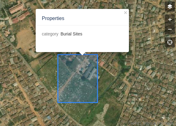
The above screenshot shows what it looks like to use MapRoulette to validate and review object detection results for features like burial sites, sports facilities, helipads and airports in OpenStreetMap.
Improved techniques in mapping, particularly AI augmentation, enable features of importance to be quickly identified for humanitarian missions, saving valuable time in preparedness and response. Maxar looks forward to collaborating with the State Department’s MapGive program on future mapathons.