Millions of miles of roads around the globe have yet to be mapped. I’ve seen firsthand how these map data gaps can negatively impact everything, including disaster response, community planning and helping the local economy. Every day, thousands of people are working hard to catalog these missing roads, buildings and bridges on OpenStreetMap (OSM), the largest free and open-map data source in the world. It’s been a long and manual process until now.

I’m proud to announce that Facebook is officially opening up our Map With AI service to the OSM mapping community. Mappers will now have access to our AI-powered mapping tools, increasing speed, and more importantly, driving a higher level of detail, quality and accuracy on the map. Initially, anyone will be able to validate our AI-generated roads and add them to OSM maps of Afghanistan, Bangladesh, Indonesia, Mexico, Nigeria, Tanzania and Uganda, with more countries rolling out over time. Map With AI combines Maxar’s satellite imagery, machine learning capabilities developed within Facebook, and the OSM community to collaboratively create more detailed and up-to-date maps. As part of Map With AI, the Facebook team is releasing our AI-powered mapping tool, called RapiD, to the OpenStreetMap community. RapiD is an enhanced version of the popular OpenStreetMap editing tool iD. RapiD is designed to make adding and editing roads quick and simple for anyone to use; it also includes data integrity checks to ensure that new map edits are consistent and accurate. You can find out more about RapiD at mapwith.ai.
Over the past two years, the team has been working with local communities and partners to perfect the technology. In fact, Map With AI has already made a positive impact. In just 18 months, our team was able to map missing roads in Thailand and more than 90 percent of missing roads in Indonesia. Doing it the traditional way — without AI — would have taken another three to five years.
Satellite imagery + machine learning
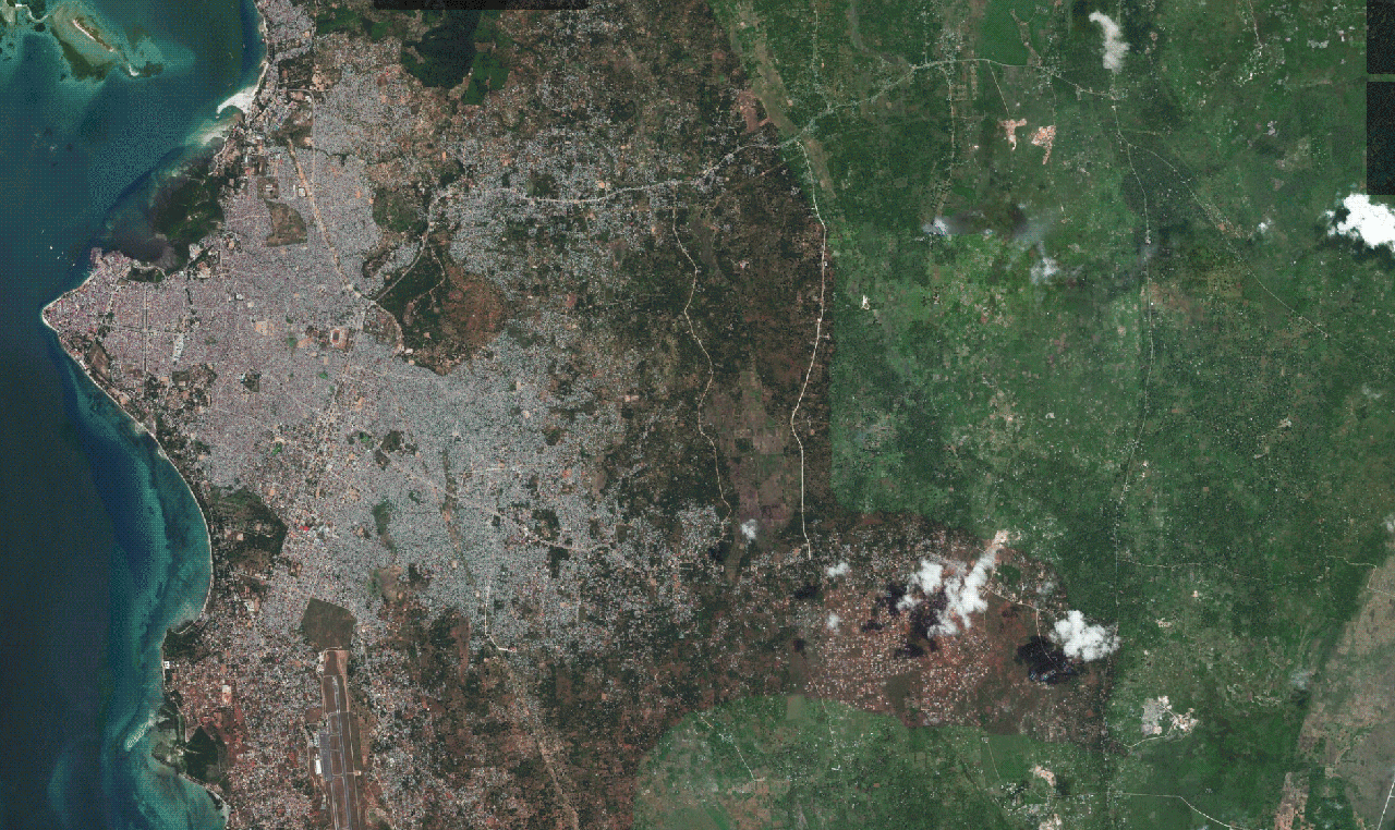
Facebook and Maxar have been mapping together since 2015. We are using Maxar’s Vivid imagery mosaic product for Map With AI because it has the highest resolution and most visually consistent global image mosaics available on the market, allowing our machine learning algorithm to work in most areas. Also, Maxar’s satellite imagery is highly accurate – meaning an intersection shows up in the imagery at the same coordinates as it does on Earth. This provides a reliable layer with which to align OSM vector content (nodes, ways and the relations between them).
These two factors – consistent visual clarity and geospatial accuracy – are key for our machine learning algorithm. We need our foundational data to be of the highest quality because that lets us pass high-quality data layers to the OSM community for verification.
We are excited that we have been able to share latest and greatest of Maxar’s Premium and Standard Imagery layers to OpenStreetMap for everyone to use through our partnership with Maxar.
The video above demonstrates of the assisted mapping process in action. To learn more about the Map With AI service, you can check out our Facebook Tech@ blog post. To browse our ML road predictions or start mapping with RapiD, please visit mapwith.ai.