The Bootleg Fire in south central Oregon, currently the largest fire in the U.S., has spread to approximately 399,000 acres as of Thursday, July 22, and is estimated to be 38% contained. High winds and dry vegetation have fueled the fast-moving fire. Oregon’s governor said the Bootleg Fire is the fourth largest on record in the state since 1900. The fire has destroyed 67 homes and 117 structures. About 2,500 structures are still threatened by the fire.
When crises like this occur, Maxar is committed to supporting the humanitarian community by providing critical and actionable information to assist response efforts and fulfilling our purpose, For A Better World. As part of our Open Data Program, Maxar will publicly release data of the affected areas to support response efforts as it becomes available.
Any imagery or data distributed through the Open Data Program is licensed under the Creative Commons Attribution Non-Commercial 4.0 license (CC BY-NC 4.0). This licensing allows for noncommercial use of the information, meaning it can quickly be integrated into first responder workflows with organizations like Team Rubicon, the Red Cross and other nonprofits. If commercial companies are interested in using the data distributed through the Open Data Program, it can be purchased by contacting us here.
Imagery has been posted on our Open Data Program website. Please continue to check this site and our social media channels for updates on additional post-event data.

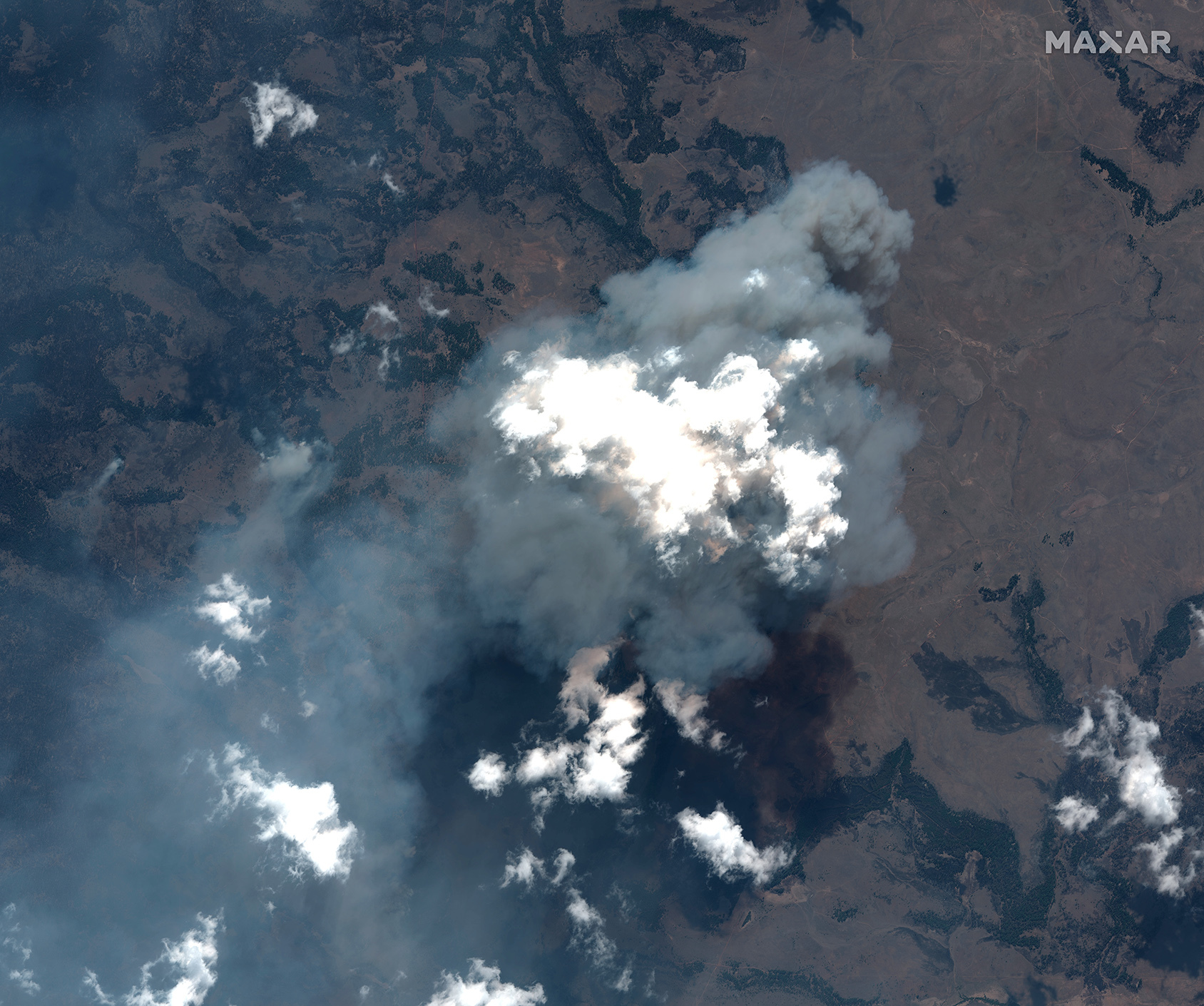
Natural color and SWIR satellite imagery of the Bootleg Fire in Oregon from July 21, 2021.