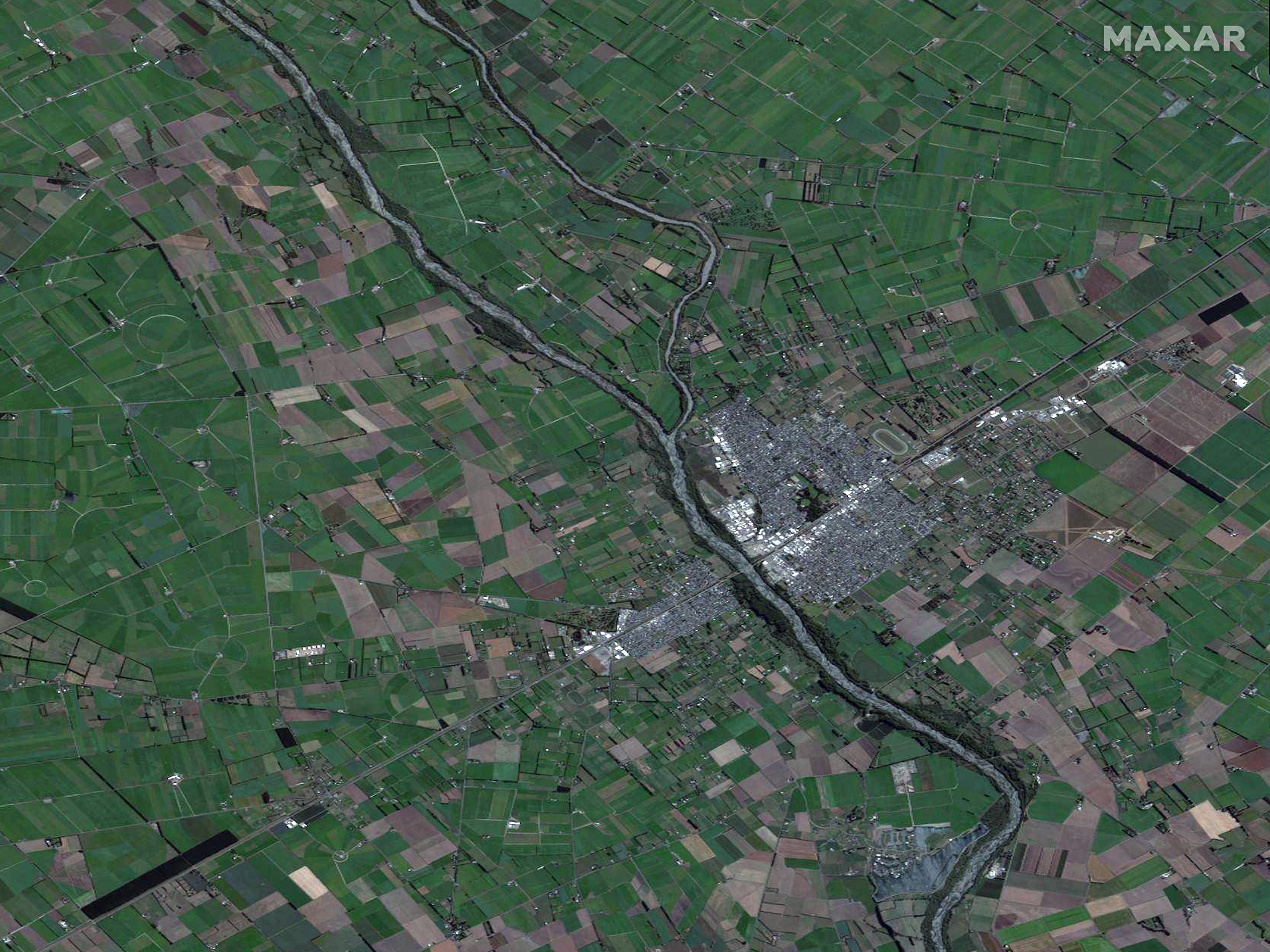
Hundreds of people have been evacuated, and many more face the risk of abandoning their homes in New Zealand’s Canterbury region as days of heavy rains have caused widespread flooding. At least 300 homes have been evacuated in what has been called a “one-in-100-year deluge.” Several highways, offices and schools have been closed, and the New Zealand’s Defence Forces deployed helicopters to rescue people stranded in the floods.
When crises like this occur, Maxar is committed to supporting the humanitarian community by providing critical and actionable information to assist response efforts and fulfilling our purpose, For A Better World. As part of our Open Data Program, Maxar will publicly release data of the affected areas to support response efforts as it becomes available.
Any imagery or data distributed through the Open Data Program is licensed under the Creative Commons Attribution Non-Commercial 4.0 license (CC BY-NC 4.0). This licensing allows for noncommercial use of the information, meaning it can quickly be integrated into first responder workflows with organizations like Team Rubicon, the Red Cross and other nonprofits. If commercial companies are interested in using the data distributed through the Open Data Program, it can be purchased by contacting us here.
Imagery has been posted on our Open Data Program website. Please continue to check this site and our social media channels for updates on additional post-event data.
Ashburton, New Zealand