Update 9/8/2017: Vector data from our Harvey Tomnod crowdsourcing campaign and MDA flood analysis is available on the Open Data Program event page.
Update 8/31/2017: Post-event imagery collected by WorldView-2 on Aug. 30 is now available on the Open Data Program event page.
Last Friday, Hurricane Harvey made landfall in Texas as a Category 4 storm, and since then has been pounding the Texas coast and its millions of residents with record-breaking rain. Harvey is now hitting Louisiana too, and storm surge alerts are in effect along hundreds of miles of coastline. Maxar’s WorldView-2 satellite captured the massive flooding in Simonton, Texas, on Aug. 30.

Maxar has mobilized resources within our company to support immediate relief efforts and the long road ahead to rebuild communities in Houston and across the Gulf Coast.As part of our Open Data Program, Maxar will publicly release pre- and post-event imagery over affected areas to support disaster response. We are currently tasking all five of our satellites over affected communities as part of our FirstLook crisis response program—and are working with partners to incorporate additional sources of data to support relief efforts. Because of cloud cover since the storm hit, attempts to collect imagery of the area have so far been unsuccessful. Once the weather clears, the post-event imagery collected will be available through our Open Data Program site. While there is currently pre-event imagery available on the site, please continue to check this blog post for updates on image collection.
In addition to pre- and post-event imagery, we plan to support Harvey response through these efforts:
Supporting partners on the ground: Maxar is partnered with Team Rubicon, where existing Maxar imagery is already in use to aid in relief efforts. On Monday, Team Rubicon deployed volunteers to do search and rescue using Maxar Basemap imagery and tools to guide their work.
Synthetic Aperture Radar flood data layers: MDA is planning to share flood vectors and change detection using their SAR data. Once those data layers are ready, this blog post will be updated.
Crowdsourcing: OpenStreetMap U.S. Community tasks have been set up for Harvey using Maxar pre-event imagery. Priorities from the Texas Department of Transportation and local responders are 1) flooded homes, 2) shelter and resources location, 3) navigable roads. Help map affected communities here: http://tasks.openstreetmap.us/?sort_by=priority&direction=asc&search=harvey. Once post-event satellite imagery is available, Maxar's crowdsourcing team will run a campaign to help with damage assessments. That campaign will be live at tomnod.com as soon as before and after imagery of Harvey are acquired.
We will continue to update this blog post and our social media feeds as data becomes available.
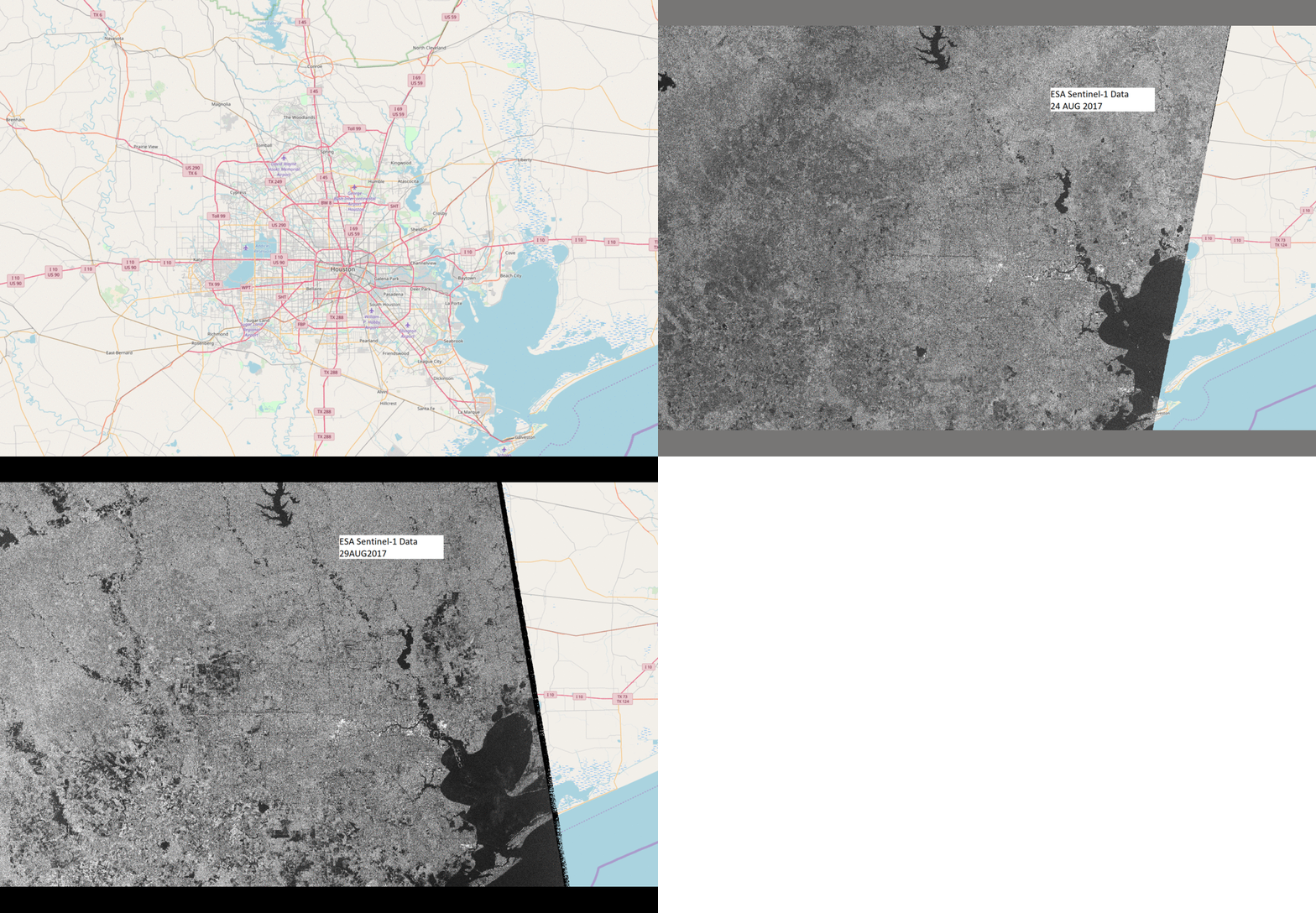
Header image credit: contains modified Copernicus Sentinel data (2017), processed by ESA, CC BY-SA 3.0 IGO