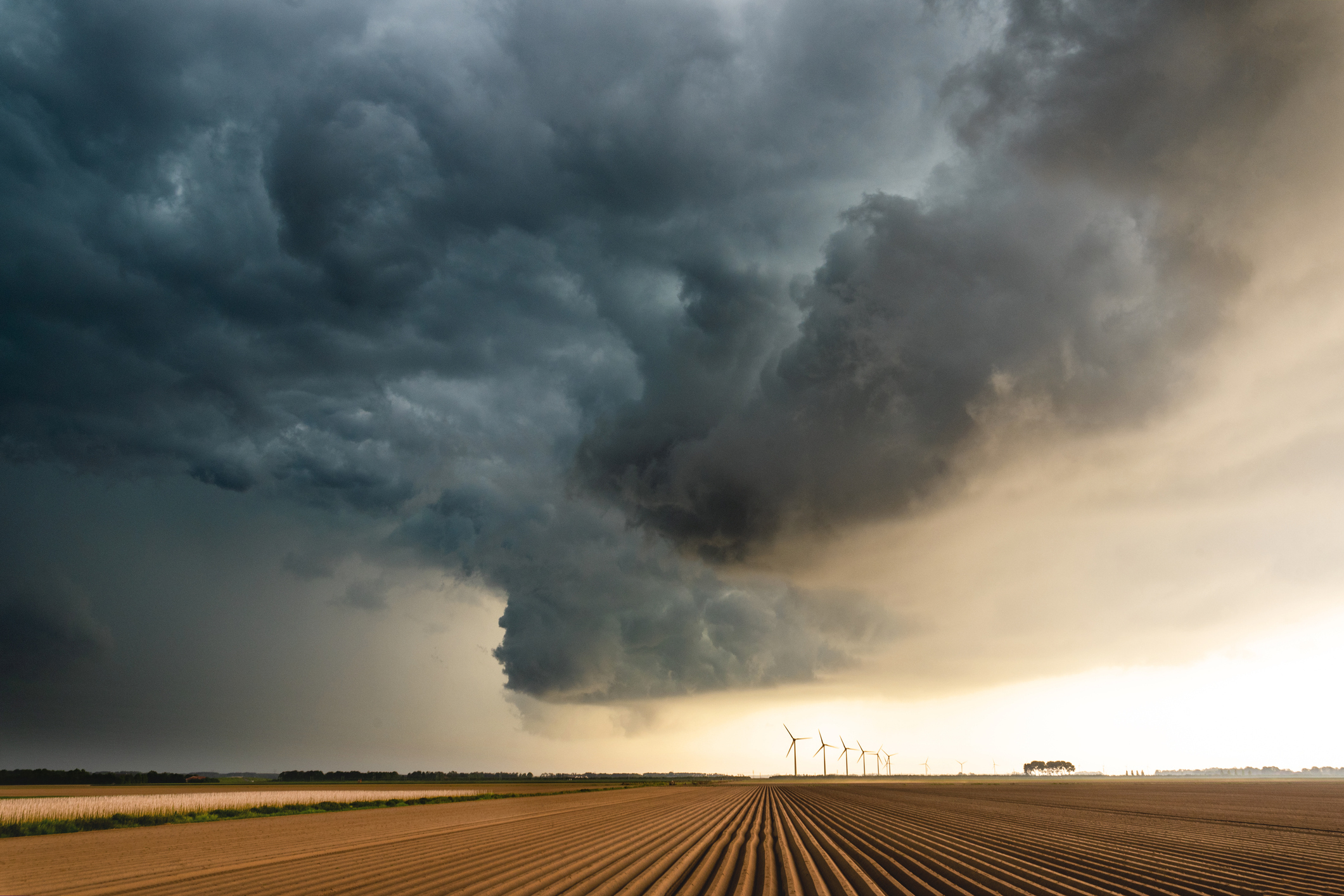
Visual representations of temperature (left) and wind speed (right) from the newest WeatherDesk offering, Weather Data Layers
Maxar’s WeatherDesk continues to expand its portfolio of industry-leading weather solutions, now offering Weather Data Layers: localized weather forecasts and observations for the entire globe. This enhancement enables commodity-trading firms to more accurately assess the impact of weather on potential natural resource utilization or crop health, or alert ride-hailing companies and transportation and logistics organizations to the risk of significant weather exposure..
For more than four decades, Maxar has been a trusted provider of high-quality weather forecasts over key global areas. Until recently, many of these forecasts were for specific places or networks of point-based locations where weather sensors exist—often at airports. Because weather happens everywhere, Weather Data Layers enables advanced analytics that can more accurately assess the impacts of changing weather conditions and climate, previously difficult or impossible to accurately assess by relying solely on point-based forecasts.
Weather Data Layers delivers high-quality geospatial data at spatial resolutions ranging from approximately 14 sq km to as fine as about 1 sq km that updates every hour—far more frequent than typical weather models—and extends 14 days into the future. WeatherDesk users are empowered to discover new insights with this solution, available for download within the WeatherDesk platform or delivered via Amazon Web Services (AWS).
Maxar takes a scientific approach to building Weather Data Layers by leveraging proprietary inputs of data and expert modeling techniques in a cloud-based computing environment. This combination of data and processing enables highly accurate, rapidly refreshed forecasts that are often required by our customers for assessing and addressing high-impact problems.

Commodity-trading firms require a more accurate assessment of the impact of weather on potential natural resource utilization (e.g., natural gas) or crop health. Supply and demand models are no longer restricted by weather data availability, especially in the case of crop regions where weather sensor data is often sparse. Instead, advanced analytical models can consume key weather parameters from Weather Data Layers.

Clear skies make it easier for space companies (Maxar and our satellite access customers) to capture the highest quality satellite images of our changing planet. Forecasting where clouds will form, move to or dissipate in the coming hours or days can improve imagery collection planning and optimize resource utilization. Peeking between the clouds allowed Maxar’s WorldView-2 satellite to see a SpaceX Falcon 9 rocket at Kennedy Space Center on August 27, 2021.

Ride-hailing companies or others in adjacent transportation and logistics markets experience significant weather risk exposure. The effects of temperature and precipitation on transportation times, for instance, can be more accurately predicted with high-quality weather input data that covers the entire route from point A to point B instead of just a few points along the way.
Weather Data Layers uniquely addresses customer problems.
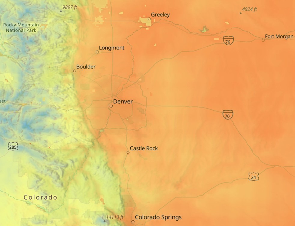
As needs vary across customers and their use cases, deliveries of Weather Data Layers can be aligned to satisfy unique requirements. Customer-defined areas of interest (AOIs) may be global, regional or local, and include as few or as many of the available weather parameters, such as temperature, precipitation, dew point temperature, wind speed, wind direction, cloud cover and others.

High-resolution depiction of temperature centered over an AOI near Denver, Colorado.
The predictive nature of Weather Data Layers enables users, new to WeatherDesk or not, to more efficiently and effectively find the answers they need to proactively limit or eliminate their weather risk exposure—anywhere in the world.
See Maxar’s Weather Data Layers in Action
Better understand how WeatherDesk can deliver the solution for your weather-related challenges during a webinar on October 19, 2021.
Register