Do you regularly sit in despair in a traffic jam on your way to work wishing you could use the time more productively?
Do you walk on a busy street surrounded by parked cars?
Do you get annoyed by the noise and exhaust fumes of the cars moving around you?
Chances are you are looking forward to the day autonomous vehicles will be a reality. Self-driving cars promise to revolutionize the way we travel, disrupt car ownership and reduce the number of cars on the road. They contribute to the vision of a future with safer journeys and more livable cities.
Whether autonomous cars will ultimately fulfill these promises is still hard to know. Despite the continued optimism about how soon autonomous vehicles will be on our streets – in 2015 Elon Musk predicted his cars would be capable of “complete autonomy” by 2017 and that’s only partially become reality now in 2019 – it is increasingly evident that the road to autonomy is much longer, with challenges being faced on several fronts. While the reliability of self-driving technology often catches the most attention, the development and roll out of enabling tools and infrastructures (e.g. 5G networks) should not be overlooked. Significant steps forward are being made in a number of sectors.
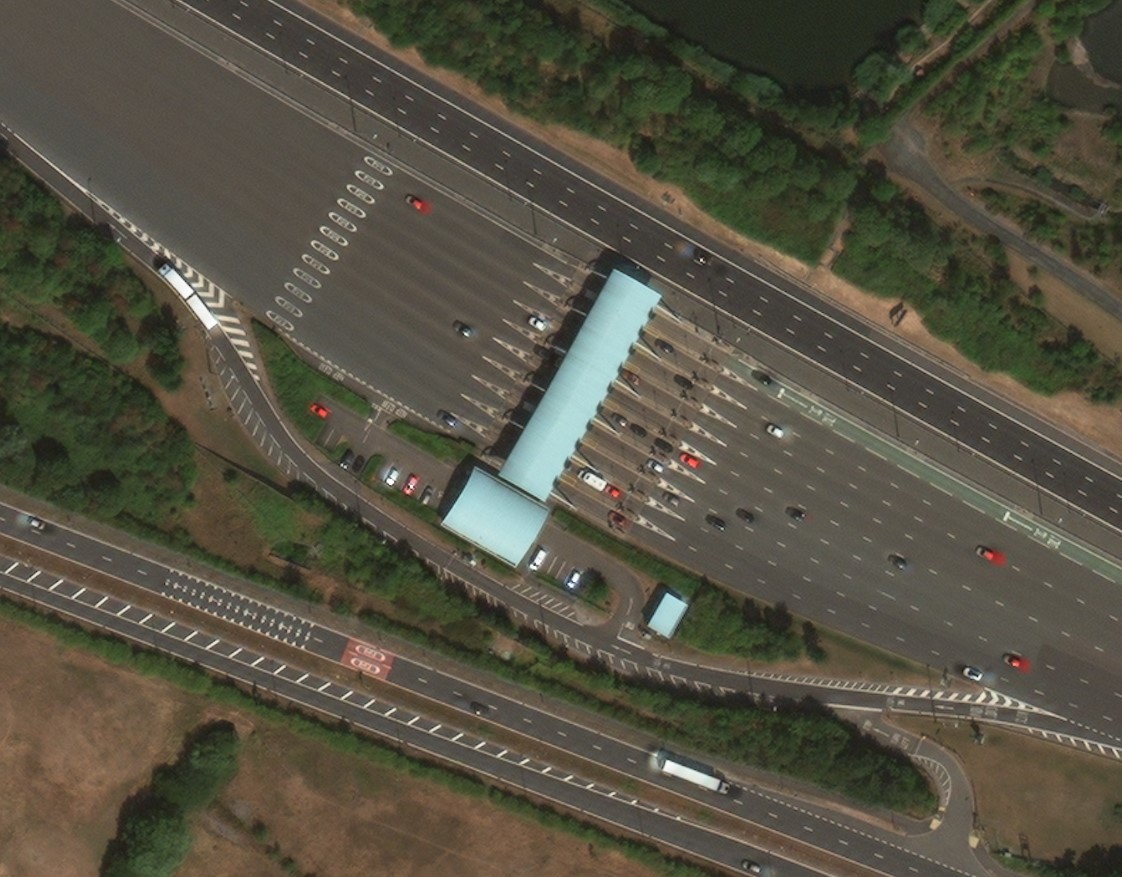
Among the enabling technologies self-driving cars will rely on are maps, however not maps as we know them today. The maps that we are accustomed to seeing on our smartphones are made for humans, by humans. These maps provide context, and people make decisions based on what they see in front of them (e.g. which lane to use at a toll booth to pay by card or cash). To be used by cars, maps need to carry many details that will support the on-board sensors; this allows the car’s ‘brain’ to rapidly make decisions. The cars need computational maps, which have to be accurate and up-to-date - maps made for machines, by machines.
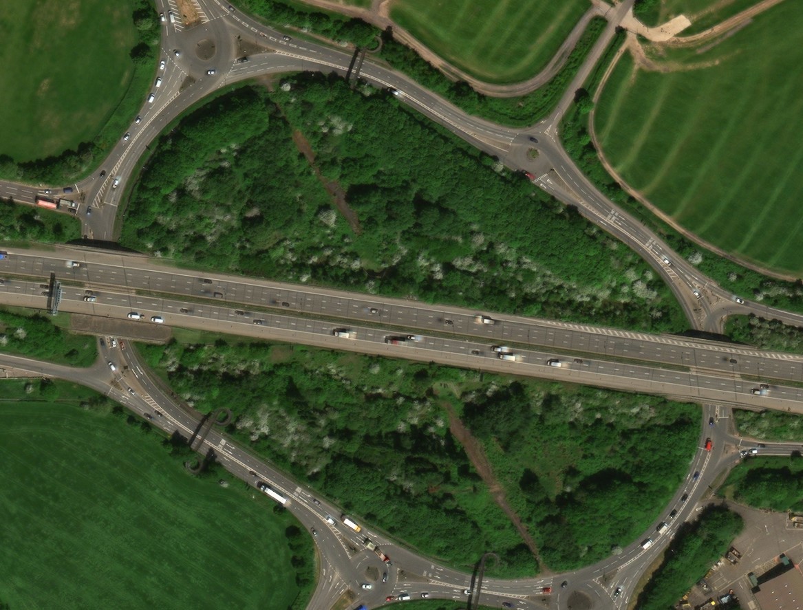
To power these maps, Maxar’s world-leading constellation offers a unique vantage point. Collecting millions of square kilometers of the planet’s landmass every day, with the highest resolution commercially available, Maxar’s WorldView satellite imagery allows for the clear identification of key road features like lane markings and on-the-ground signs in complex intersections and toll booths. To build computational maps, machines are being trained to automatically digitize these features consistently and accurately, anywhere in the world.
Thanks to partnerships like the one Maxar announced with Toyota Research Institute-Advanced Development, Inc. (TRIAD) and NTT DATA Corporation, we are contributing to the artificial intelligence needed to build maps for autonomous vehicles. To make sure these will be kept up to date and relevant changes are identified rapidly, we are also building a new constellation of satellites called WorldView Legion that will take these high-resolution images multiple times a day.
Read more about why satellite imagery is a key component in the future of autonomous driving, ride-sharing companies and more in this article from Automotive World.

Luca Perletta is a Sales Manager at Maxar. Luca supports European organizations in the Technology & Automotive industries change how we travel by helping them with space-derived capabilities, including high-definition maps.