 My favorite sessions:
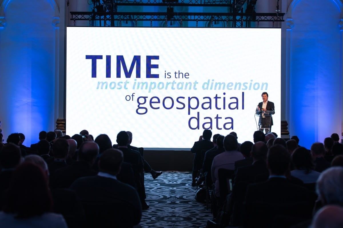
- Keynote by Jeff Jonas, Data Scientist, Former IBM Fellow and Serial Entrepreneur. Jonas is an acclaimed data scientist who solves some of the world’s most complex business challenges with systems that extract useful intelligence from tsunamis of data. These systems tackle high-profile challenges including identifying potential terrorists, detecting fraudulent behavior in casinos, and early detection of surprise asteroids.
- “The Multi-Billion Dollar Artificial Intelligence Market and How DigitalGlobe Plays In It,” by Andre Kearns, Senior Director of Services, DigitalGlobe. Andre provided an overview of the artificial intelligence market, highlighting key applications and how DigitalGlobe is establishing industry leadership in this space.
- “Remote Sensing and Geospatial Data for Global Health and Development,” by Vincent Seaman, Senior Program Officer, Bill & Melinda Gates Foundation. I was fascinated to learn about how satellite images reveal gaps in global population data. Learn more about the future of Human Landscape by registering for this webinar.
- Xinthe Technologies Pvt. Ltd was honored as Partner of the Year Award (photo below). Xinthe Technologies managed the opportunity for the Indian state of Madhya Pradesh to use high-resolution stereo imagery. This success contributed significant growth, and ensured a sustainable increase in 2017 and 2018.

- PSMA Australia was honored with the Deal of the Year Award. PSMA partnered with DigitalGlobe to create Geoscape, the first ever continental and countrywide infrastructure model. Geoscape is an information dataset that analyses 7.6 million square kilometers and more than 200 TB of data. Being the first to take something to market requires vision, courage and market knowledge. Download the PSMA case study.
- Keynote by Jerry Helfand, Remote Sensing Specialist, recently retired from ExxonMobil. In his 34 years at ExxonMobil, Jerry was instrumental in paving the path forward for remote sensing technologies. He shared customer and industry perspectives and approaches to creating new opportunities in remote-sensing data and services for clients in the oil and gas industry.
- “The Art of the SWIR; Using WorldView-3 for Mineral Exploration,” by Dan Taranik, Managing Director of the Exploration Mapping Group. Dan provided an informative look into the business of exploration and showed how investments in SWIR technology are providing intelligent information to improve decision-making and maintain profitable operations. Watch Dan’s webinar replay from February 22 here.
- The solution-selling workshops and roundtable discussions were stimulating and informative. Participants engaged with experts on a wide range of topics, including civil mapping, natural resources, telecommunications and next-generation networks. Learn about how to plan, build and optimize denser networks, and download geodata samples here.