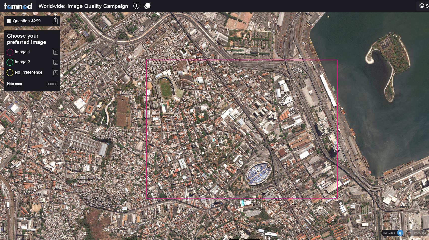
 All satellite imagery is affected at some level by light-wave scattering due to haze, water vapor, and particulates in the atmosphere. These atmospheric conditions change daily, and each satellite image is impacted differently. There are many cases in which atmospheric conditions can degrade the quality of the imagery or even make the imagery unusable.
DigitalGlobe has developed proprietary new tools to ensure a crispness and clarity of the images akin to the view at ground level. We are now offering our customers the first opportunity to see the improvements in visual quality available for our high resolution imagery. We’ve selected a series of images taken across a wide range of atmospheric conditions and landscapes and deployed these examples for easy access and viewing. See the improvement for yourself after we apply the DigitalGlobe visual quality tool. As you check out each image, we’d love your feedback. This will help us improve our image quality tools in the future. Each image has undergone different processing techniques. In this campaign we are asking you to vote, subjectively, for your preferred image.
Instructions:
- Go to the Image Quality Improvement Campaign
- Toggle between Image 1 and Image 2 by clicking the buttons in the bottom right corner or by pressing the “Q” and “W” keys
- Vote for your preferred image by clicking the buttons in the top left corner or by pressing the “1” and “2” keys
This is a great opportunity for you to help us help you as we continue on our mission to deliver the highest quality imagery in the industry.