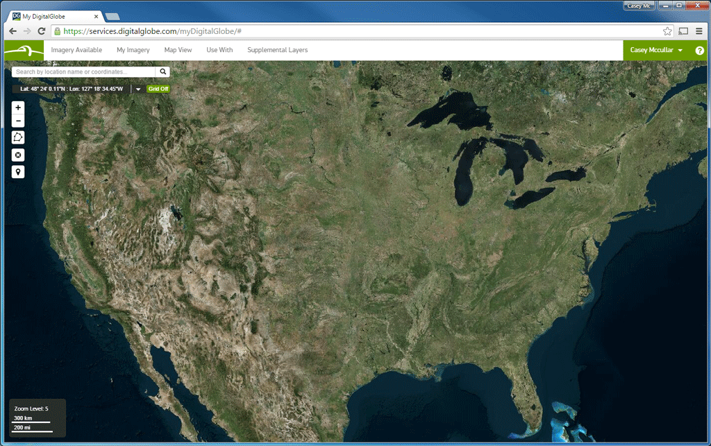
 Every day, more imagery is added to Basemap +Refresh to build complete coverage of the United States with images less than one year old.[/caption]
Last year we introduced Basemap +Refresh USA and set out to deliver new imagery online for all 50 U.S. states and island territories annually. After some learning through trial and error (we can’t meet the promise everywhere in Alaska, but can over-deliver for the islands, for example) and good old fashioned elbow grease, I’m proud to say that today our subscribers have imagery less than one year old for 93.48% of the entire USA. This isn't a “let’s see where we are next month” promise, but me reading from the latest report from our Operations team that is putting the plan into action right now, today. It takes us about 15 minutes to activate an account, so let my friend Drew know if you want a trial.
We’re not expanding the DG Basemap suite of products willy-nilly; there is logic behind each new product we introduce. This spring, we introduced our A3C quality model, which is based on the four pillars of image quality: Accuracy, Currency, Completeness, and Consistency. All DigitalGlobe imagery is best-in-class for geospatial accuracy, so each new addition to Basemap seeks to overachieve on one of the 3Cs.
Basemap +Refresh is optimized for Completeness, covering the entire country or region. Basemap +Daily is built for Currency, with imagery available online mere hours after it is collected for the most recent view. Basemap +Vivid is customized for Consistency, smoothing hundreds of disparate images into a coherent final package.
We’re not done yet; we’re still building future capabilities for DigitalGlobe Basemap, and will have more to say before the summer is over.
If you’re at Esri UC next week, please visit the DigitalGlobe booth #1701 at 1:00 p.m. on either July 21st or July 22nd to catch my 10-minute tech talk about how the Basemap suite of products can help your organization meet its goals. See you there!
Casey McCullar is Director of Product Marketing at DigitalGlobe.
Every day, more imagery is added to Basemap +Refresh to build complete coverage of the United States with images less than one year old.[/caption]
Last year we introduced Basemap +Refresh USA and set out to deliver new imagery online for all 50 U.S. states and island territories annually. After some learning through trial and error (we can’t meet the promise everywhere in Alaska, but can over-deliver for the islands, for example) and good old fashioned elbow grease, I’m proud to say that today our subscribers have imagery less than one year old for 93.48% of the entire USA. This isn't a “let’s see where we are next month” promise, but me reading from the latest report from our Operations team that is putting the plan into action right now, today. It takes us about 15 minutes to activate an account, so let my friend Drew know if you want a trial.
We’re not expanding the DG Basemap suite of products willy-nilly; there is logic behind each new product we introduce. This spring, we introduced our A3C quality model, which is based on the four pillars of image quality: Accuracy, Currency, Completeness, and Consistency. All DigitalGlobe imagery is best-in-class for geospatial accuracy, so each new addition to Basemap seeks to overachieve on one of the 3Cs.
Basemap +Refresh is optimized for Completeness, covering the entire country or region. Basemap +Daily is built for Currency, with imagery available online mere hours after it is collected for the most recent view. Basemap +Vivid is customized for Consistency, smoothing hundreds of disparate images into a coherent final package.
We’re not done yet; we’re still building future capabilities for DigitalGlobe Basemap, and will have more to say before the summer is over.
If you’re at Esri UC next week, please visit the DigitalGlobe booth #1701 at 1:00 p.m. on either July 21st or July 22nd to catch my 10-minute tech talk about how the Basemap suite of products can help your organization meet its goals. See you there!
Casey McCullar is Director of Product Marketing at DigitalGlobe.